Transport Functions
Rail
Road
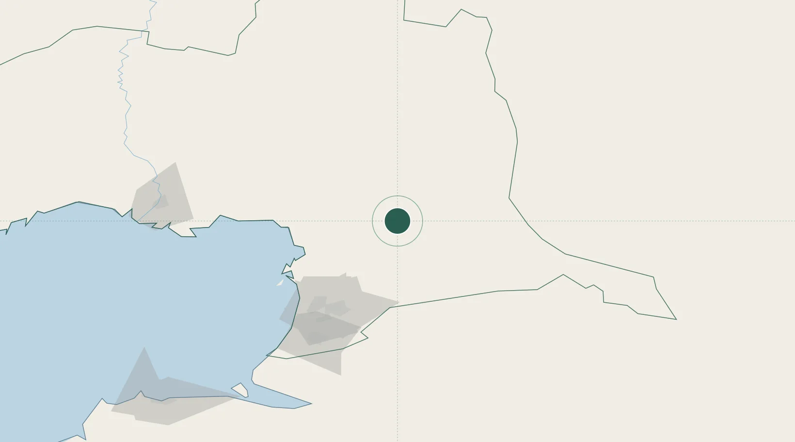
Location
Nearby Logistics Neighbours
Cities
- 1Tengiz80 km
- 2Atyrau (ex Guryev)157 km
- 3Shubarkuduk304 km
- 4Bautino397 km
- 5Velyka Dymerka406 km
Ports
- 1Rostov-Na-Donu1082 km
- 2Azov1104 km
- 3Supsa Marine Terminal1113 km
- 4Sokhumi1114 km
- 5Taganrog1140 km
Airports
Trade Zones
DatabookThe Record of Consolidated Knowledge
Kazakhstan beyond logistics?