Specialized Zone · Kazakhstan
National Industrial Petrochemical Technopark Special Economic Zone Active
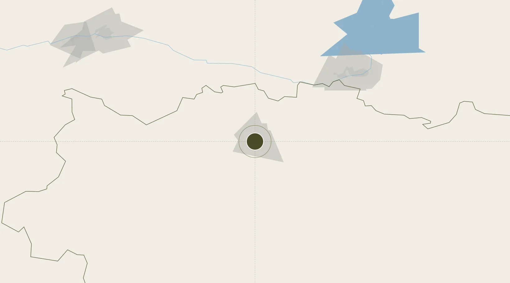
50.3016°, 57.1509°
3,475 ha
Zone area
1,321.8 km
Nearest port
7.0 km
Nearest airport
Gateway access
Zone profile
Zone type
Specialized Zone
Specialization
Energy
Region
Aqtöbe
Status
Active
Management
Public
Operator
JSC "Management Company of SEZ NIPT"
Legal framework
Decree of the President of the Republic of Kazakhstan dated December 19, 2007, No. 495
Location
Nearby Logistics Neighbours
Ports
- 1Rostov-Na-Donu1322 km
- 2Azov1345 km
- 3Taganrog1374 km
- 4Yeysk1442 km
- 5Sokhumi1474 km
Airports
- 1Aktobe International Airport7 km
- 2Orsk Airport133 km
- 3Orenburg Central Airport204 km
- 4Kvarkeno Airport265 km
- 5Svetlyy Airport271 km
Cities
- 1Aqtöbe (Aktyubinsk)2 km
- 2Novotroitsk129 km
- 3Shubarkuduk139 km
- 4Anhalt Süd155 km
- 5Velyka Dymerka187 km
DatabookThe Record of Consolidated Knowledge
Kazakhstan beyond logistics?