UN/LOCODE hub · Kazakhstan
KZSHU
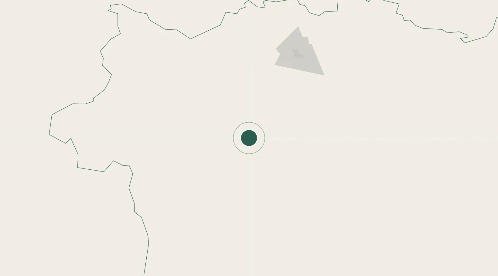
Shubarkuduk
49.1333°, 56.4833°
11,733
Population
2
Transport functions
Transport Functions
Rail
Road
Hub Profile
Place type
Provincial seat
Region
Aktyubinskaya Oblast’
Population
11,733
Time zone
Asia/Aqtobe
Elevation
191 m
Location
Nearby Logistics Neighbours
Cities
- 1Aqtöbe (Aktyubinsk)137 km
- 2Velyka Dymerka213 km
- 3Novotroitsk264 km
- 4Anhalt Süd279 km
- 5Kul'sary304 km
Ports
- 1Rostov-Na-Donu1260 km
- 2Azov1283 km
- 3Taganrog1315 km
- 4Sokhumi1374 km
- 5Yeysk1380 km
Airports
- 1Aktobe International Airport134 km
- 2Orsk Airport263 km
- 3Shalkar Airport268 km
- 4Orenburg Central Airport305 km
- 5Svetlyy Airport366 km
DatabookThe Record of Consolidated Knowledge
Kazakhstan beyond logistics?