Large airport · Kazakhstan

Atyrau International AirportUATG
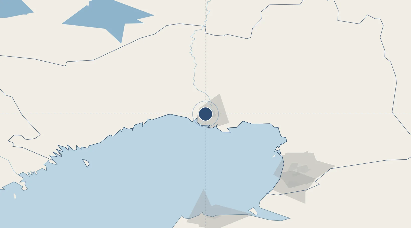
47.1213°, 51.8203°
9,842 ft
Longest runway
1
Runways
-72 ft
Elevation

Runway & Layout

Atyrau International Airport runway & taxiway layout
Runway & taxiway layout — OpenStreetMap (ODbL) / OurAirports

Radio Frequencies

TWR
118.1 MHz
APP
123.7 MHz
OurAirports

Navaids

ATR VOR-DME Atyrau 112.30 MHz
TY NDB Atyrau 315 kHz
YR NDB Atyrau 315 kHz
OurAirports

Runways · 1

RunwayDimensions SurfaceTrue headingLit
14/32 9,842 × 144ft Asphalt 150°
OurAirports

Airport Specifications

IATA code
GUW
OurAirports
ICAO code
UATG
OurAirports
Airport class
Large airport
OurAirports
Scheduled service
Yes
OurAirports
Runway surface
Asphalt
OurAirports
Served city
Atyrau
OurAirports

Location

Location of UATG
Natural Earth 10m (public domain) · Atyrau · UATG · 47.12, 51.82GoogleOSMYandex

Nearby Logistics Neighbours

Airports
  1. 1Astrakhan Narimanovo Boris M. Kustodiev International Airport305 km
  2. 2Privolzhskiy Air Base310 km
  3. 3Aktau International Airport367 km
  4. 4Akhtubinsk Air Base438 km
  5. 5Manshuk Mametova International Airport449 km
Nearest neighbours — logibook spatial index (haversine) over the source coordinates
Cities
  1. 1Atyrau (ex Guryev)10 km
  2. 2Tengiz153 km
  3. 3Kul'sary168 km
  4. 4Bautino312 km
  5. 5Krasnyye Barrikady320 km
Nearest neighbours — logibook spatial index (haversine) over the source coordinates
Ports
  1. 1Rostov-Na-Donu915 km
  2. 2Azov936 km
  3. 3Sokhumi967 km
  4. 4Taganrog972 km
  5. 5Supsa Marine Terminal974 km
Nearest neighbours — logibook spatial index (haversine) over the source coordinates
DatabookThe Record of Consolidated Knowledge
Kazakhstan beyond logistics?
Browse databook

All Sources

AirportsOurAirports
Public domain
Portsthe NGA World Port Index
Public domain (US gov)
LocationsUN/LOCODE
UN/LOCODE — free
Trade Zonesthe World Bank SEZ database
CC BY 4.0
Trade ZonesOpen Zone Map
CC BY
InfrastructureOpenStreetMap
ODbL 1.0
← Kazakhstan airports