Transport Functions
Rail
Airport
Hub Profile
Logistics facilities
1
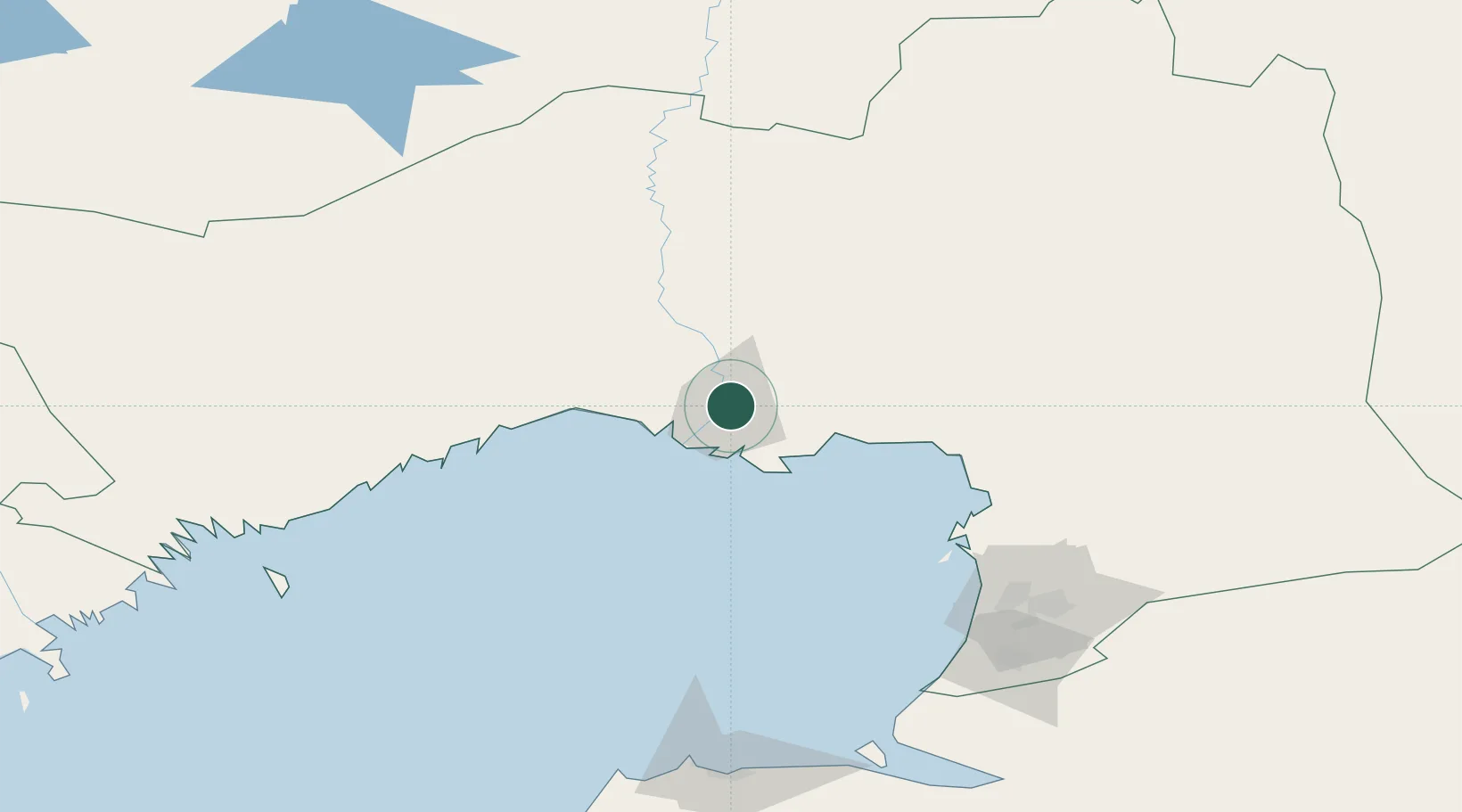
Location
Nearby Logistics Neighbours
Cities
- 1Tengiz145 km
- 2Kul'sary157 km
- 3Bautino318 km
- 4Krasnyye Barrikady330 km
- 5Ikryanoye343 km
Ports
- 1Rostov-Na-Donu925 km
- 2Azov947 km
- 3Sokhumi976 km
- 4Taganrog982 km
- 5Supsa Marine Terminal984 km
Airports
DatabookThe Record of Consolidated Knowledge
Kazakhstan beyond logistics?