Transport Functions
Multimodal
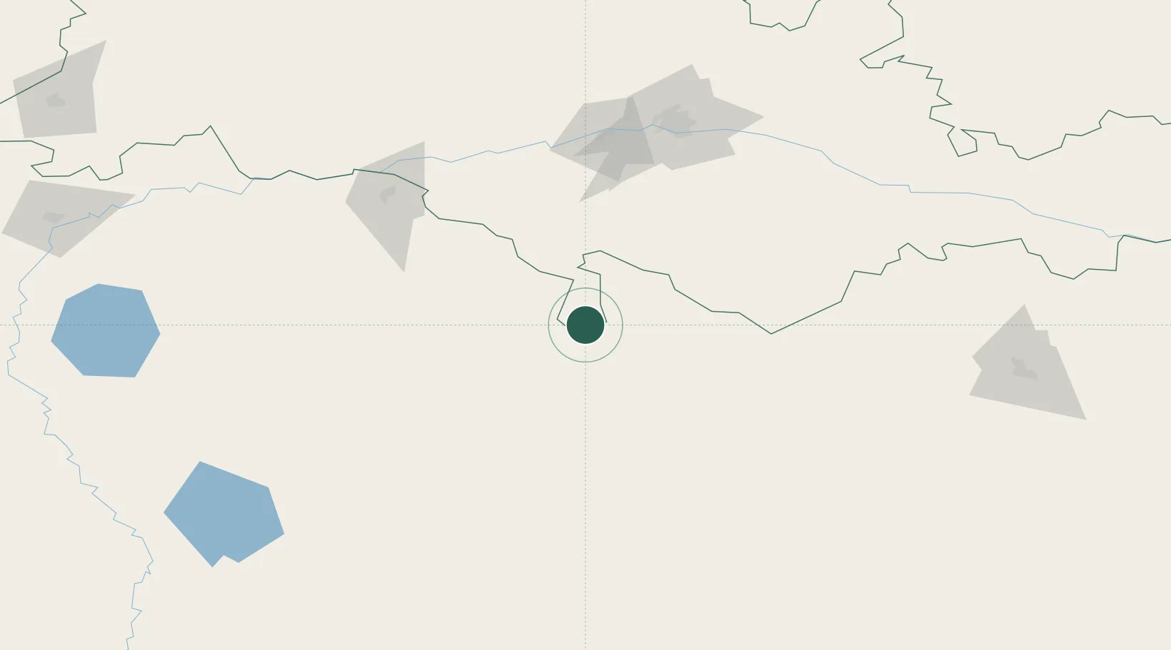
Hub Profile
Place type
Populated place
Region
Kyiv
Population
9,606
Time zone
Europe/Kyiv
Elevation
122 m
Location
Nearby Logistics Neighbours
Cities
- 1Orenburgskiy149 km
- 2Chërnyy Otrog176 km
- 3Aqtöbe (Aktyubinsk)188 km
- 4Shubarkuduk213 km
- 5Novotroitsk273 km
Ports
- 1Rostov-Na-Donu1147 km
- 2Azov1170 km
- 3Taganrog1198 km
- 4Yeysk1267 km
- 5Sokhumi1331 km
Airports
- 1Orenburg Central Airport149 km
- 2Aktobe International Airport192 km
- 3Manshuk Mametova International Airport220 km
- 4Orsk Airport289 km
- 5Buguruslan Severny Airport379 km
DatabookThe Record of Consolidated Knowledge
Ukraine beyond logistics?