Transport Functions
Port
Hub Profile
Region
47
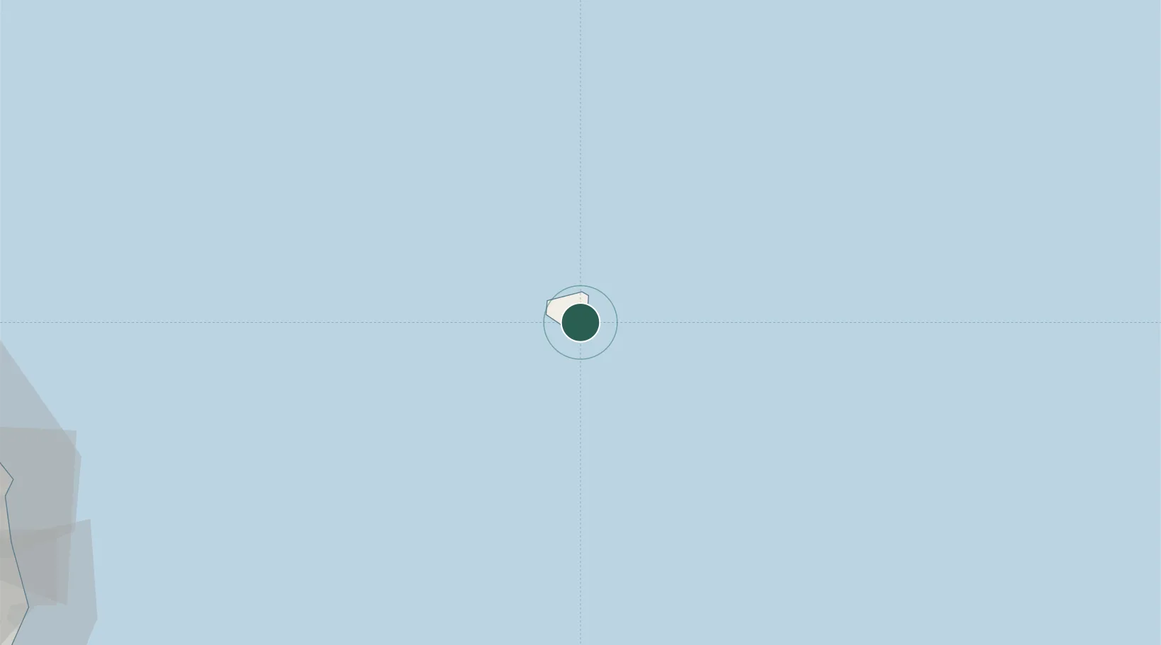
Location
Nearby Logistics Neighbours
Cities
- 1Ulleung-gun2 km
- 2Dokdo88 km
- 3Yeongyang-gun137 km
- 4Hosan141 km
- 5Samcheok152 km
Ports
- 1Tonghae155 km
- 2Mukho158 km
- 3Pohang208 km
- 4Sokch'o Hang218 km
- 5Ulsan261 km
Airports
- 1N 105 Helipad89 km
- 2Gangneung Airport (K-18)175 km
- 3Yangyang International Airport207 km
- 4Pohang Airport (G-815/K-3)211 km
- 5Yecheon Airbase245 km
DatabookThe Record of Consolidated Knowledge
South Korea beyond logistics?