UN/LOCODE hub · South Korea
KRDDO

Dokdo

37.2333°, 131.8500°
1
Transport functions

Transport Functions

Port
UN/LOCODE

Hub Profile

Region
47
GeoNames

Location

Location of KRDDO
Natural Earth 10m (public domain) · 47 · KRDDO · 37.23, 131.85GoogleOSMYandex

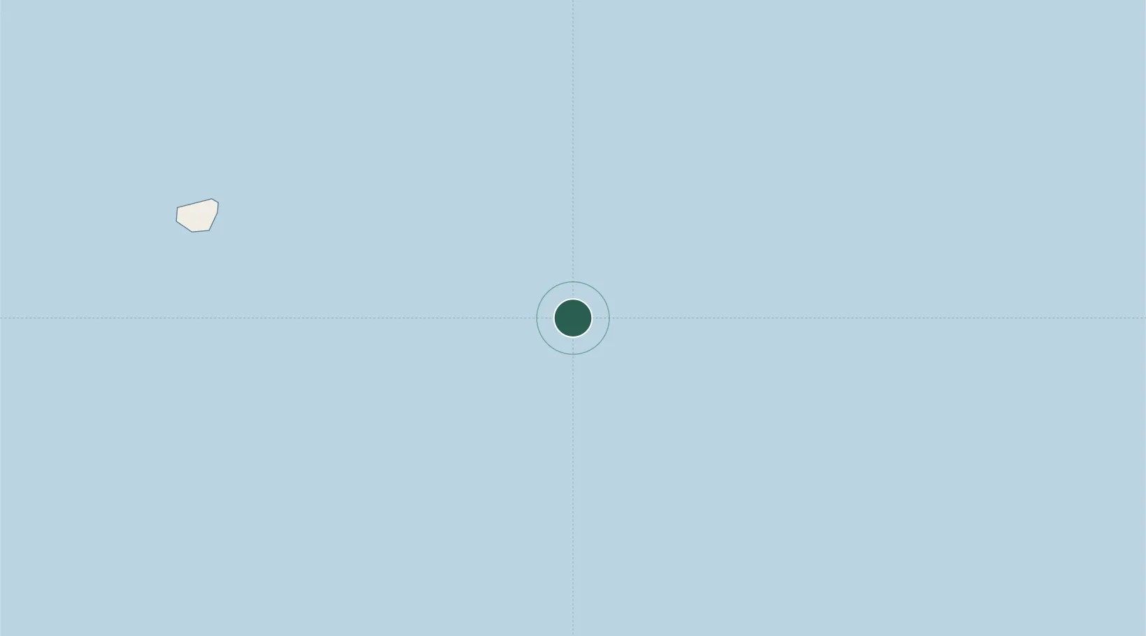
Nearby Logistics Neighbours

Cities
  1. 1Ulleung88 km
  2. 2Ulleung-gun88 km
  3. 3Yeongyang-gun198 km
  4. 4Hosan222 km
  5. 5Hupo222 km
Nearest neighbours — logibook spatial index (haversine) over the source coordinates
Ports
  1. 1Sakai Ko225 km
  2. 2Sakaiminato226 km
  3. 3Tonghae241 km
  4. 4Mukho244 km
  5. 5Pohang256 km
Nearest neighbours — logibook spatial index (haversine) over the source coordinates
Airports
  1. 1N 105 Helipad2 km
  2. 2Oki Global Geopark Airport176 km
  3. 3Izumo Enmusubi Airport223 km
  4. 4Yonago Kitaro Airport / JASDF Miho Air Base230 km
  5. 5Pohang Airport (G-815/K-3)257 km
Nearest neighbours — logibook spatial index (haversine) over the source coordinates
Trade Zones
  1. 1Tatara Satoyama Regeneration Special Zone234 km
  2. 2Bukpyeong National Industrial Complex241 km
  3. 3East Coast Free Economic Zone245 km
  4. 4Mangsang International Multifunctional Tour City247 km
  5. 5Okgye High-tech Material Complex252 km
Nearest neighbours — logibook spatial index (haversine) over the source coordinates
DatabookThe Record of Consolidated Knowledge
South Korea beyond logistics?
Browse databook

All Sources

LocationsUN/LOCODE
UN/LOCODE — free
Portsthe NGA World Port Index
Public domain (US gov)
AirportsOurAirports
Public domain
Trade Zonesthe World Bank SEZ database
CC BY 4.0
Trade ZonesOpen Zone Map
CC BY
← South Korea locations