Heliport · South Korea

N 105 HelipadRKDD

37.2394°, 131.8688°
270 ft
Elevation

Runway & Layout

N 105 Helipad runway & taxiway layout
Runway & taxiway layout — OpenStreetMap (ODbL) / OurAirports

Airport Specifications

ICAO code
RKDD
OurAirports
Airport class
Heliport
OurAirports
Scheduled service
Yes
OurAirports
Served city
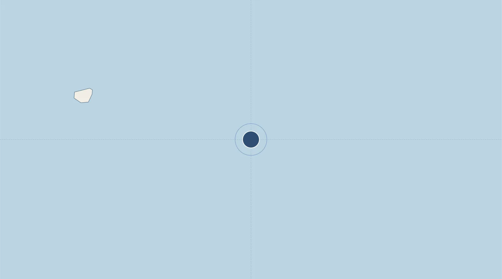
Dokdo (Liancourt Rocks)
OurAirports

Location

Location of RKDD
Natural Earth 10m (public domain) · RKDD · 37.24, 131.87GoogleOSMYandex

Nearby Logistics Neighbours

Airports
  1. 1Oki Global Geopark Airport175 km
  2. 2Izumo Enmusubi Airport223 km
  3. 3Yonago Kitaro Airport / JASDF Miho Air Base230 km
  4. 4Pohang Airport (G-815/K-3)259 km
  5. 5Gangneung Airport (K-18)264 km
Nearest neighbours — logibook spatial index (haversine) over the source coordinates
Cities
  1. 1Dokdo2 km
  2. 2Ulleung89 km
  3. 3Ulleung-gun90 km
  4. 4Yeongyang-gun199 km
  5. 5Hosan223 km
Nearest neighbours — logibook spatial index (haversine) over the source coordinates
Ports
  1. 1Sakai Ko225 km
  2. 2Sakaiminato226 km
  3. 3Tonghae242 km
  4. 4Mukho246 km
  5. 5Pohang258 km
Nearest neighbours — logibook spatial index (haversine) over the source coordinates
Trade Zones
  1. 1Tatara Satoyama Regeneration Special Zone234 km
  2. 2Bukpyeong National Industrial Complex243 km
  3. 3East Coast Free Economic Zone246 km
  4. 4Mangsang International Multifunctional Tour City249 km
  5. 5Okgye High-tech Material Complex254 km
Nearest neighbours — logibook spatial index (haversine) over the source coordinates
DatabookThe Record of Consolidated Knowledge
South Korea beyond logistics?
Browse databook

All Sources

AirportsOurAirports
Public domain
Portsthe NGA World Port Index
Public domain (US gov)
LocationsUN/LOCODE
UN/LOCODE — free
Trade Zonesthe World Bank SEZ database
CC BY 4.0
Trade ZonesOpen Zone Map
CC BY
InfrastructureOpenStreetMap
ODbL 1.0
← South Korea airports