Transport Functions
Port
Hub Profile
Region
46
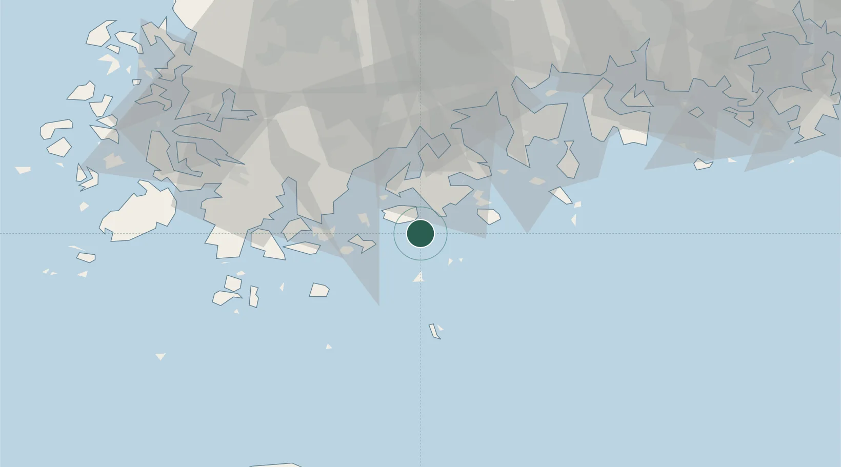
Location
Nearby Logistics Neighbours
Cities
- 1Nokdongsin18 km
- 2Goheung-gun24 km
- 3Shinma37 km
- 4Geomundo41 km
- 5Jangheung-gun45 km
Ports
- 1Gwangyang Hang74 km
- 2Mokpo91 km
- 3Masan150 km
- 4Chinae153 km
- 5Busan181 km
Airports
- 1Yeosu Airport61 km
- 2Gwangju Airport92 km
- 3Muan International Airport104 km
- 4Sacheon Airport / Sacheon Air Base109 km
- 5Jeju International Airport119 km
DatabookThe Record of Consolidated Knowledge
South Korea beyond logistics?