UN/LOCODE hub · South Korea
KRKDO

Kukdo

34.5333°, 128.4333°
1
Transport functions

Transport Functions

Port
UN/LOCODE

Hub Profile

Region
47
GeoNames

Location

Location of KRKDO
Natural Earth 10m (public domain) · 47 · KRKDO · 34.53, 128.43GoogleOSMYandex

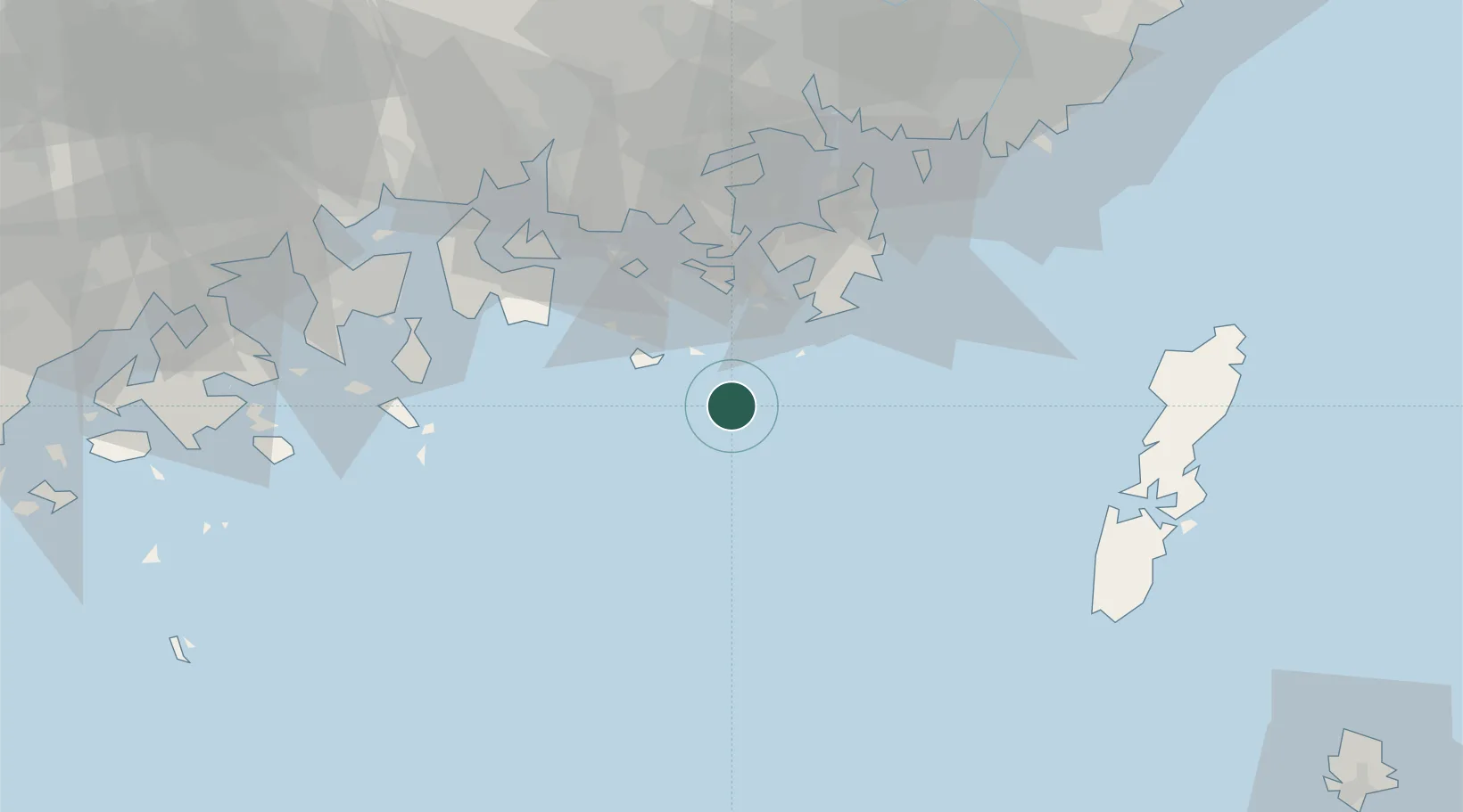
Nearby Logistics Neighbours

Cities
  1. 1Junghwa29 km
  2. 2Tongyeong33 km
  3. 3Geoje38 km
  4. 4Koje38 km
  5. 5Gohyeon/Geoje42 km
Nearest neighbours — logibook spatial index (haversine) over the source coordinates
Ports
  1. 1Chinae70 km
  2. 2Masan73 km
  3. 3Gwangyang Hang75 km
  4. 4Busan84 km
  5. 5Izuhara88 km
Nearest neighbours — logibook spatial index (haversine) over the source coordinates
Airports
  1. 1Sacheon Airport / Sacheon Air Base70 km
  2. 2Yeosu Airport82 km
  3. 3Gimhae International Airport85 km
  4. 4Tsushima Airport87 km
  5. 5Ulsan Airport145 km
Nearest neighbours — logibook spatial index (haversine) over the source coordinates
DatabookThe Record of Consolidated Knowledge
South Korea beyond logistics?
Browse databook

All Sources

LocationsUN/LOCODE
UN/LOCODE — free
Portsthe NGA World Port Index
Public domain (US gov)
AirportsOurAirports
Public domain
Trade Zonesthe World Bank SEZ database
CC BY 4.0
Trade ZonesOpen Zone Map
CC BY
← South Korea locations