Transport Functions
Port
Hub Profile
Region
46
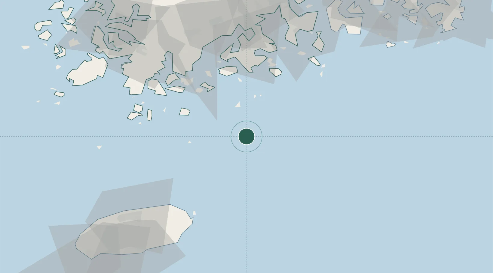
Location
Nearby Logistics Neighbours
Cities
- 1Narodo41 km
- 2Nokdongsin58 km
- 3Wando-gun60 km
- 4Shinma62 km
- 5Goheung-gun65 km
Ports
- 1Gwangyang Hang107 km
- 2Mokpo120 km
- 3Masan174 km
- 4Chinae175 km
- 5Izuhara185 km
Airports
- 1Jeongseok Airport88 km
- 2Jeju International Airport93 km
- 3Yeosu Airport96 km
- 4Gwangju Airport131 km
- 5Muan International Airport137 km
Trade Zones
DatabookThe Record of Consolidated Knowledge
South Korea beyond logistics?