Transport Functions
Rail
Road
Hub Profile
Region
44
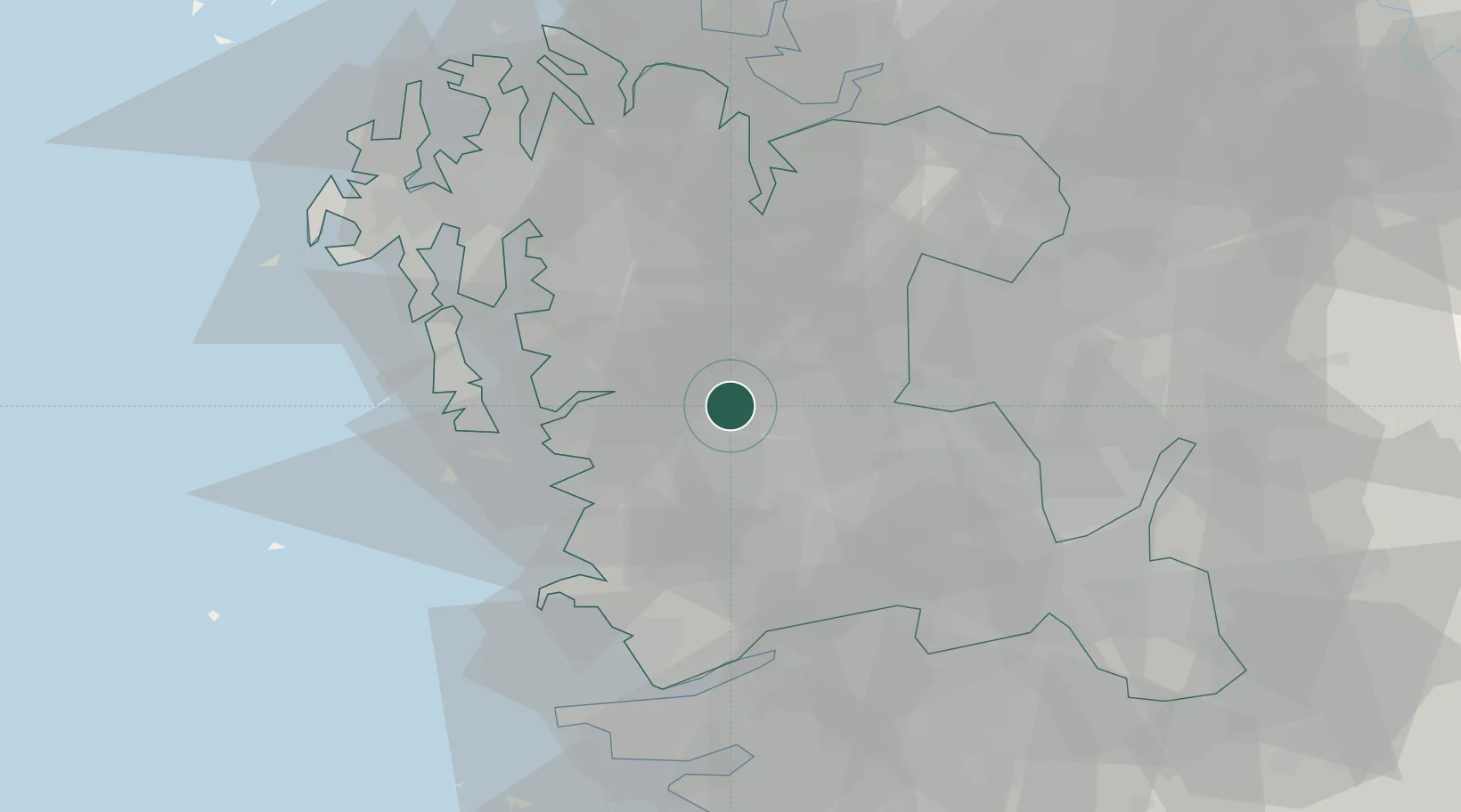
Location
Nearby Logistics Neighbours
Cities
- 1Hongseong-gun21 km
- 2Buyeo-gun22 km
- 3Seocheon-gun24 km
- 4Yesan26 km
- 5Gongju30 km
Ports
- 1Kunsan54 km
- 2Pyeongtaek Hang61 km
- 3Daesan Hang72 km
- 4Inchon114 km
- 5Mokpo189 km
Airports
DatabookThe Record of Consolidated Knowledge
South Korea beyond logistics?