Transport Functions
Port
Hub Profile
Region
P
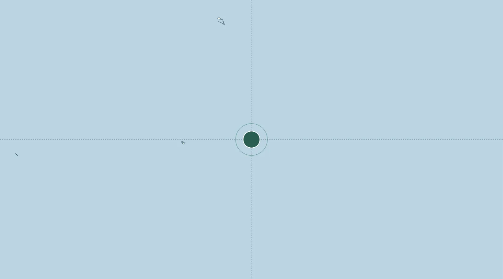
Location
Nearby Logistics Neighbours
Cities
- 1Birnie Island103 km
- 2Hull Island104 km
- 3Enderbury Island148 km
- 4Mckean Island333 km
- 5Nikumaroro363 km
Ports
- 1Canton Island189 km
- 2Apia1041 km
- 3Pago Pago Harbor1093 km
- 4Mata-Utu1117 km
- 5Neiafu1605 km
Airports
- 1Canton Island Airport196 km
- 2Faleolo International Airport1045 km
- 3Ofu Airport1094 km
- 4Pago Pago International Airport1099 km
- 5Fitiuta Airport1102 km
Trade Zones
- 1FTZ No. 009 Honolulu3215 km
- 2FTZ No. 003 San Francisco6886 km
- 3FTZ No. 056 Oakland6896 km
- 4FTZ No. 018 San Jose6898 km
- 5FTZ No. 205 Port Hueneme6936 km
DatabookThe Record of Consolidated Knowledge
Kiribati beyond logistics?