Runway & Layout

Airport Specifications
IATA code
CIS
ICAO code
PCIS
Airport class
Medium airport
Scheduled service
No
Served city
Abariringa
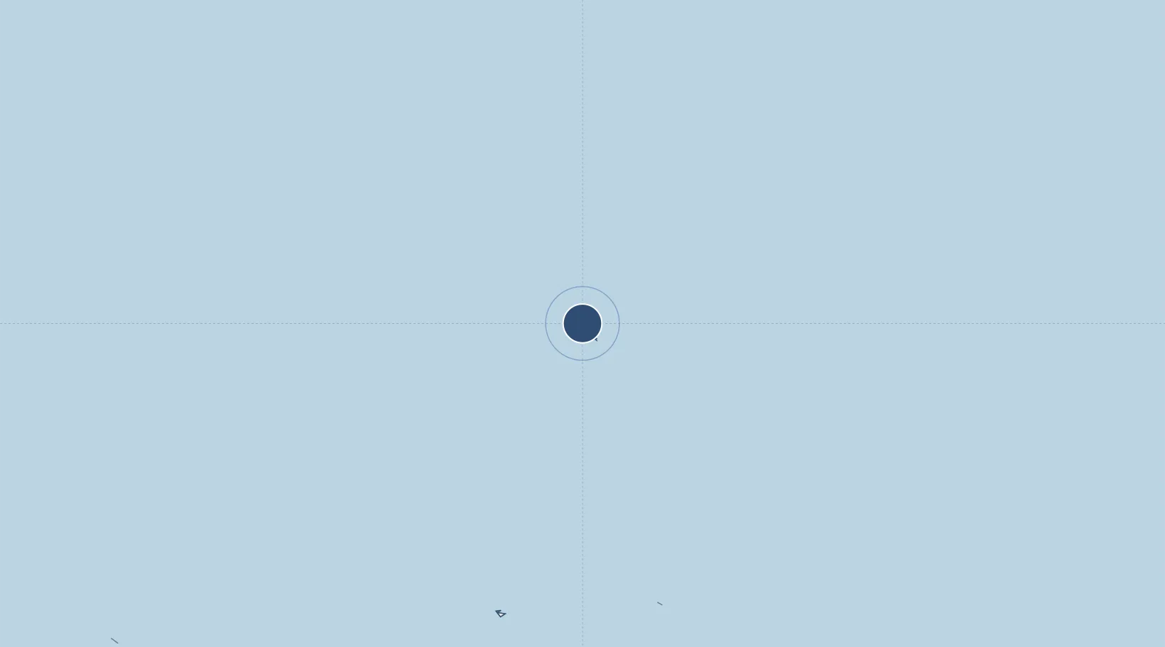
Location
Nearby Logistics Neighbours
Airports
- 1Faleolo International Airport1231 km
- 2Hihifo Airport1265 km
- 3Ofu Airport1289 km
- 4Pago Pago International Airport1290 km
- 5Fitiuta Airport1298 km
Cities
- 1Enderbury Island82 km
- 2Birnie Island93 km
- 3Sydney Island196 km
- 4Hull Island201 km
- 5Mckean Island282 km
Ports
- 1Canton Island7 km
- 2Apia1229 km
- 3Mata-Utu1266 km
- 4Pago Pago Harbor1286 km
- 5Neiafu1783 km
Trade Zones
- 1FTZ No. 009 Honolulu3072 km
- 2FTZ No. 003 San Francisco6782 km
- 3FTZ No. 056 Oakland6792 km
- 4FTZ No. 018 San Jose6796 km
- 5FTZ No. 248 Eureka6827 km
DatabookThe Record of Consolidated Knowledge
Kiribati beyond logistics?