Transport Functions
Port
Hub Profile
Region
P
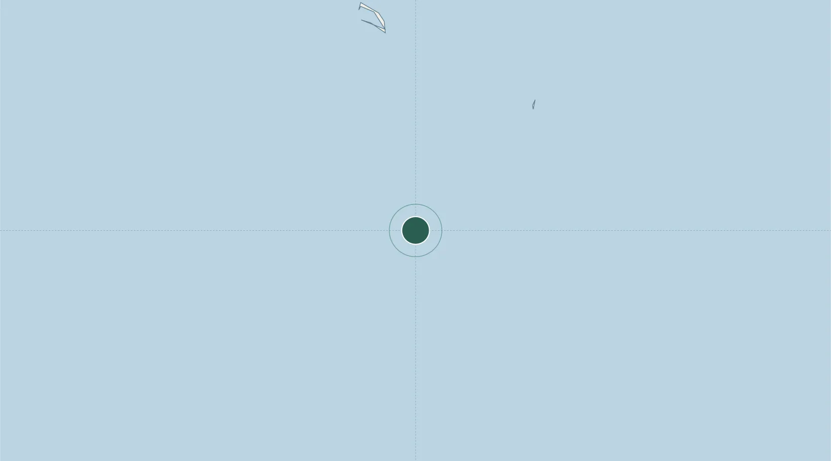
Location
Nearby Logistics Neighbours
Cities
- 1Enderbury Island68 km
- 2Sydney Island103 km
- 3Hull Island127 km
- 4Mckean Island289 km
- 5Nikumaroro355 km
Ports
- 1Canton Island86 km
- 2Apia1138 km
- 3Mata-Utu1192 km
- 4Pago Pago Harbor1193 km
- 5Neiafu1697 km
Airports
- 1Canton Island Airport93 km
- 2Faleolo International Airport1141 km
- 3Hihifo Airport1191 km
- 4Ofu Airport1196 km
- 5Pago Pago International Airport1198 km
Trade Zones
- 1FTZ No. 009 Honolulu3141 km
- 2FTZ No. 003 San Francisco6834 km
- 3FTZ No. 056 Oakland6843 km
- 4FTZ No. 018 San Jose6847 km
- 5FTZ No. 248 Eureka6883 km
DatabookThe Record of Consolidated Knowledge
Kiribati beyond logistics?