Transport Functions
Multimodal
Hub Profile
Place type
Provincial seat
Region
Saitama
Population
83,989
Time zone
Asia/Tokyo
Elevation
24 m
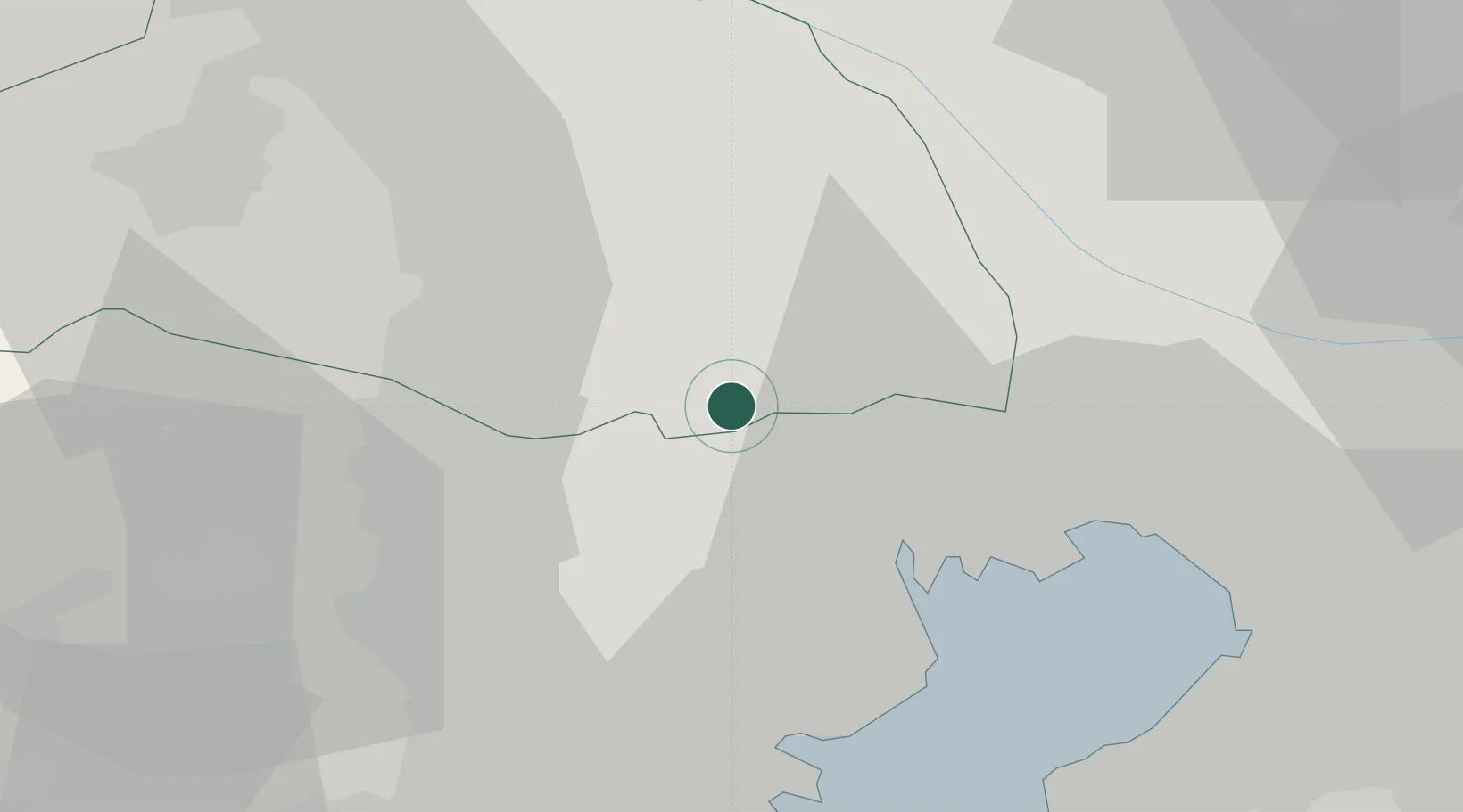
Location
Nearby Logistics Neighbours
Cities
- 1Asaka, Saitama2 km
- 2Shiki6 km
- 3Soka7 km
- 4Toda8 km
- 5Warabi10 km
Ports
- 1Tokyo Ko19 km
- 2Funabashi34 km
- 3Kawasaki Ko35 km
- 4Yokohama Ko37 km
- 5Chiba Ko48 km
Airports
- 1Chofu Airport14 km
- 2Iruma Air Base18 km
- 3Yokota Air Base23 km
- 4Tokyo Haneda International Airport31 km
- 5JMSDF Shimofusa Air Base37 km
DatabookThe Record of Consolidated Knowledge
Japan beyond logistics?