Transport Functions
Port
Multimodal
Hub Profile
Place type
Urban district
Region
Tokyo
Time zone
Asia/Tokyo
Elevation
47 m
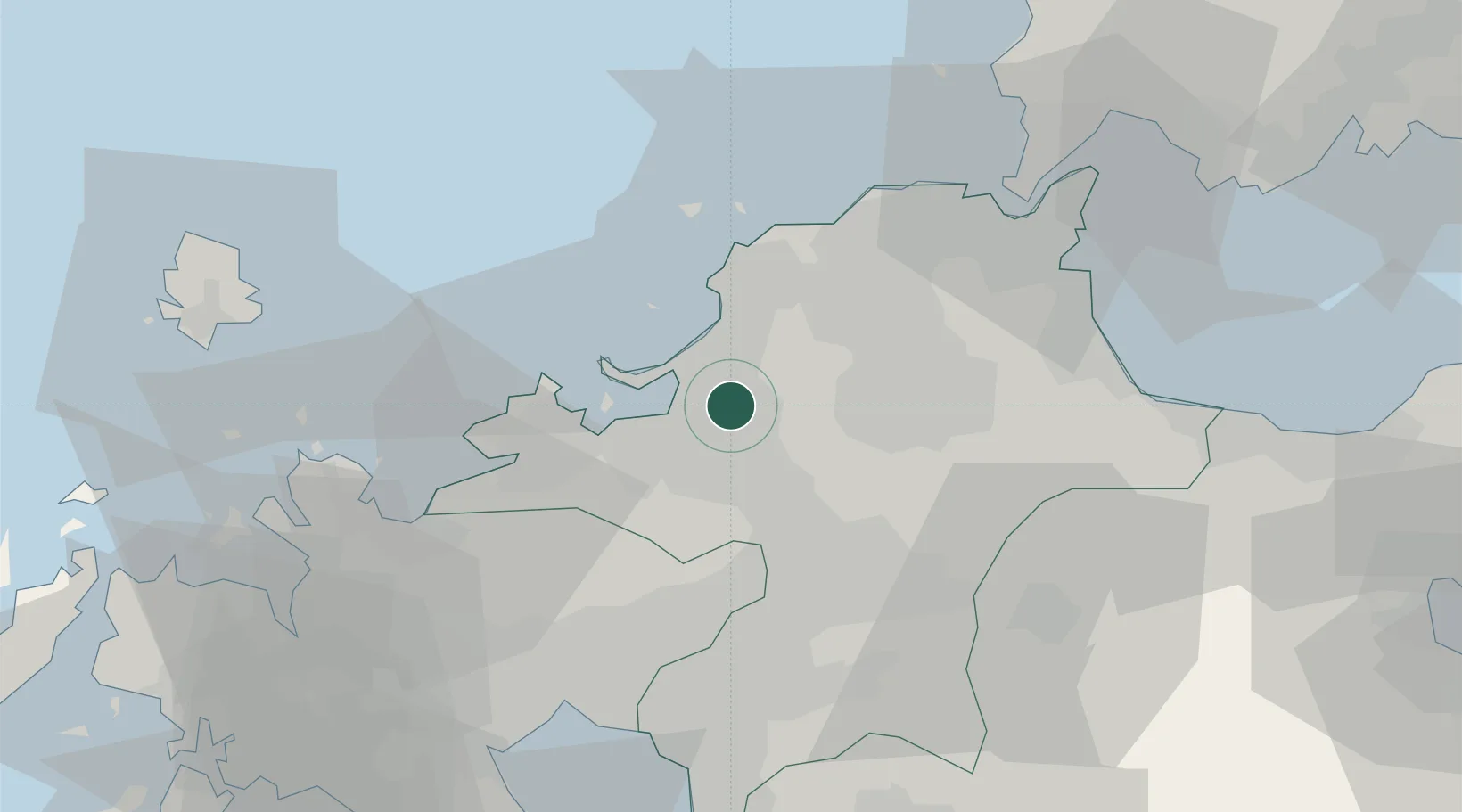
Location
Nearby Logistics Neighbours
Cities
- 1Sue4 km
- 2Hakata/Fukuoka8 km
- 3Onojo9 km
- 4Fukuoka13 km
- 5Iizuka19 km
Ports
- 1Hakata8 km
- 2Yahata42 km
- 3Wakamatsu Ko44 km
- 4Tobata45 km
- 5Kokura Ko47 km
Airports
- 1Fukuoka Airport5 km
- 2JASDF Ashiya Air Base34 km
- 3JASDF Tsuiki Air Base52 km
- 4Kyushu Saga International Airport55 km
- 5Kitakyushu Airport57 km
DatabookThe Record of Consolidated Knowledge
Japan beyond logistics?