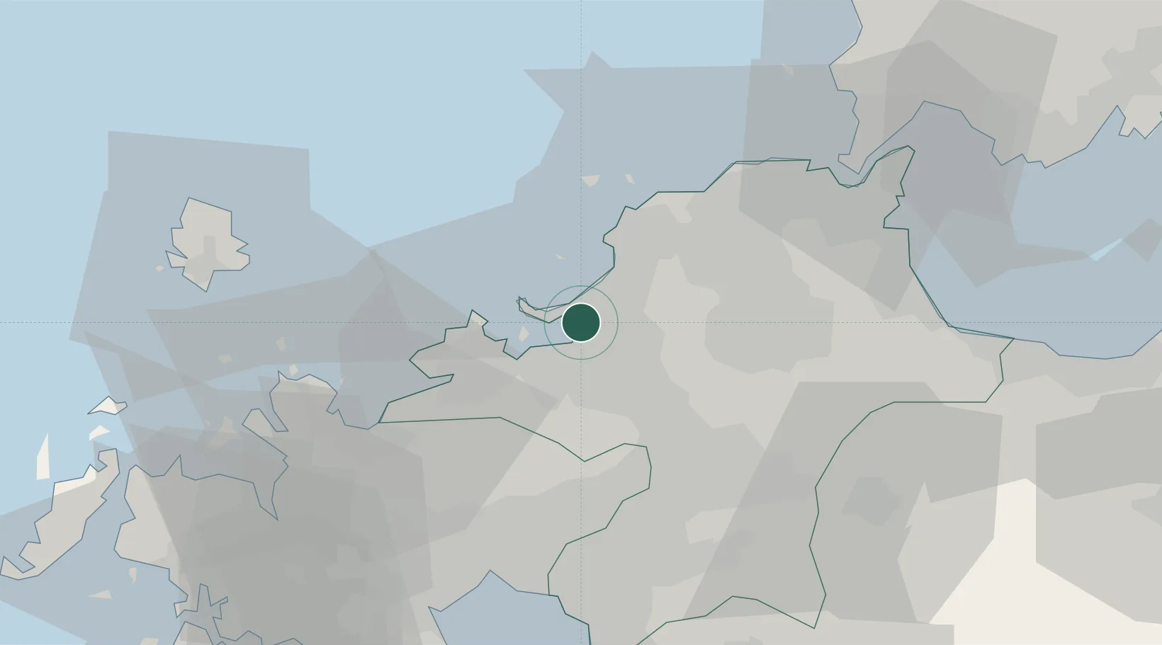
UN/LOCODE hub · Japan
JPHKT

Hakata/Fukuoka

33.6418°, 130.4076°
4
Transport functions
2
Container terminals

Transport Functions

Port
Rail
Road
Postal
Hakata/Fukuoka is also a profiled seaport →
UN/LOCODE

Hub Profile

Region
40
GeoNames
Logistics facilities
11
UN/LOCODE
Container terminals
2
UN/LOCODE

Location

Location of JPHKT
Natural Earth 10m (public domain) · 40 · JPHKT · 33.64, 130.41GoogleOSMYandex

Nearby Logistics Neighbours

Cities
  1. 1Kasuya8 km
  2. 2Sue11 km
  3. 3Onojo14 km
  4. 4Fukuoka18 km
  5. 5Itoshima, Fukuoka23 km
Nearest neighbours — logibook spatial index (haversine) over the source coordinates
Ports
  1. 1Karatsu45 km
  2. 2Yahata45 km
  3. 3Wakamatsu Ko48 km
  4. 4Tobata49 km
  5. 5Hibikinada51 km
Nearest neighbours — logibook spatial index (haversine) over the source coordinates
Airports
  1. 1Fukuoka Airport7 km
  2. 2JASDF Ashiya Air Base35 km
  3. 3Kyushu Saga International Airport56 km
  4. 4JASDF Tsuiki Air Base59 km
  5. 5Iki Airport59 km
Nearest neighbours — logibook spatial index (haversine) over the source coordinates
DatabookThe Record of Consolidated Knowledge
Japan beyond logistics?
Browse databook

All Sources

LocationsUN/LOCODE
UN/LOCODE — free
Portsthe NGA World Port Index
Public domain (US gov)
AirportsOurAirports
Public domain
Trade Zonesthe World Bank SEZ database
CC BY 4.0
Trade ZonesOpen Zone Map
CC BY
← Japan locations