Transport Functions
Multimodal
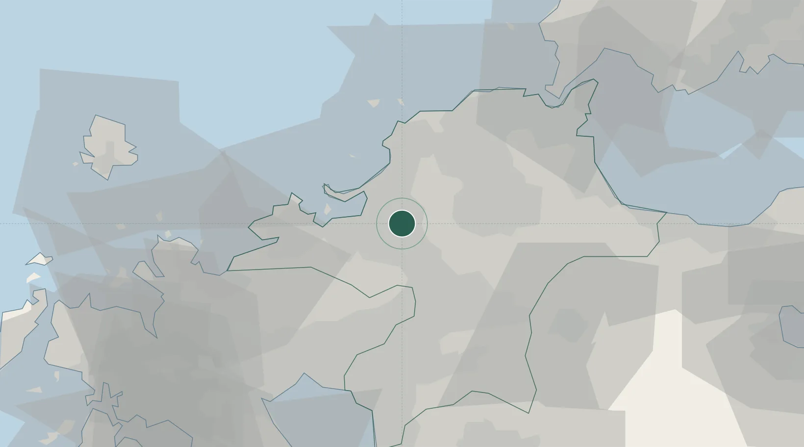
Hub Profile
Place type
Populated place
Region
Fukuoka
Population
28,628
Time zone
Asia/Tokyo
Elevation
22 m
Location
Nearby Logistics Neighbours
Cities
- 1Kasuya4 km
- 2Onojo6 km
- 3Fukuoka9 km
- 4Hakata/Fukuoka11 km
- 5Chikuzen, Fukuoka18 km
Ports
- 1Hakata9 km
- 2Yahata43 km
- 3Wakamatsu Ko46 km
- 4Tobata47 km
- 5Kokura Ko49 km
Airports
- 1Fukuoka Airport5 km
- 2JASDF Ashiya Air Base36 km
- 3JASDF Tsuiki Air Base51 km
- 4Kyushu Saga International Airport52 km
- 5Kitakyushu Airport58 km
DatabookThe Record of Consolidated Knowledge
Japan beyond logistics?