Transport Functions
Multimodal
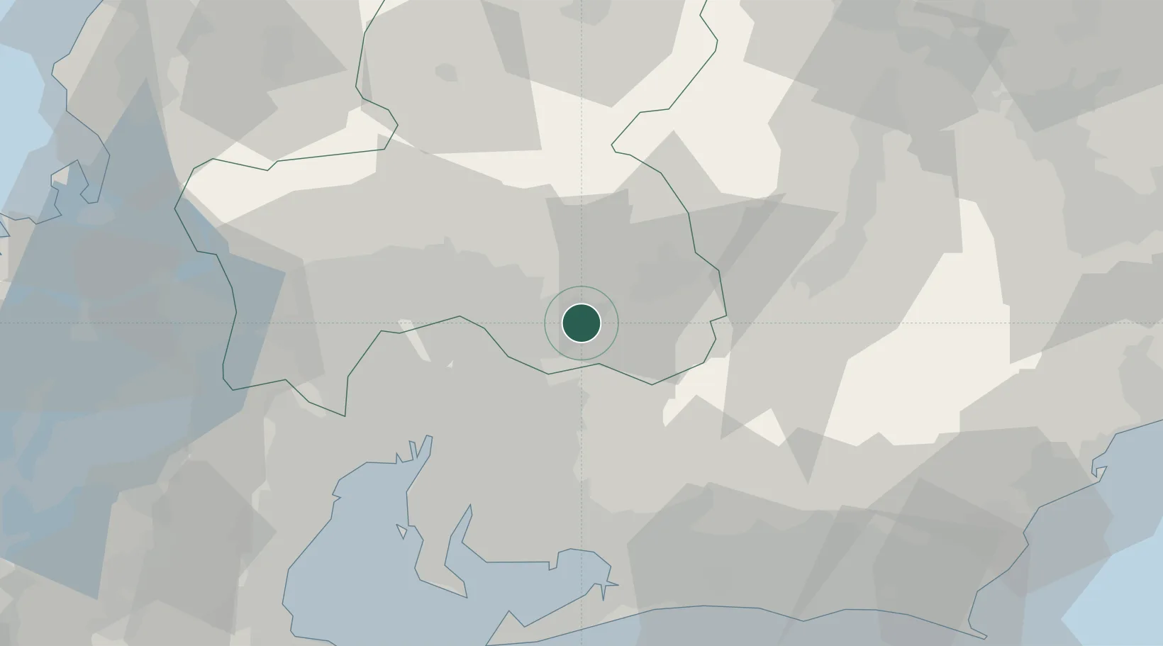
Hub Profile
Place type
Provincial seat
Region
Gifu
Population
37,705
Time zone
Asia/Tokyo
Elevation
157 m
Location
Nearby Logistics Neighbours
Cities
- 1Toki Gifu6 km
- 2Ena18 km
- 3Nakatsugawa26 km
- 4Owariasahi27 km
- 5Nagakute, Aichi28 km
Ports
- 1Nagoya Ko48 km
- 2Gamagori Ko61 km
- 3Kinuura Ko64 km
- 4Yokkaichi72 km
- 5Mikawa72 km
Airports
DatabookThe Record of Consolidated Knowledge
Japan beyond logistics?