UN/LOCODE hub · Japan
JPGHU

Toki Gifu

35.3500°, 137.1833°
1
Transport functions

Transport Functions

Multimodal
UN/LOCODE

Hub Profile

Region
21
GeoNames

Location

Location of JPGHU
Natural Earth 10m (public domain) · 21 · JPGHU · 35.35, 137.18GoogleOSMYandex

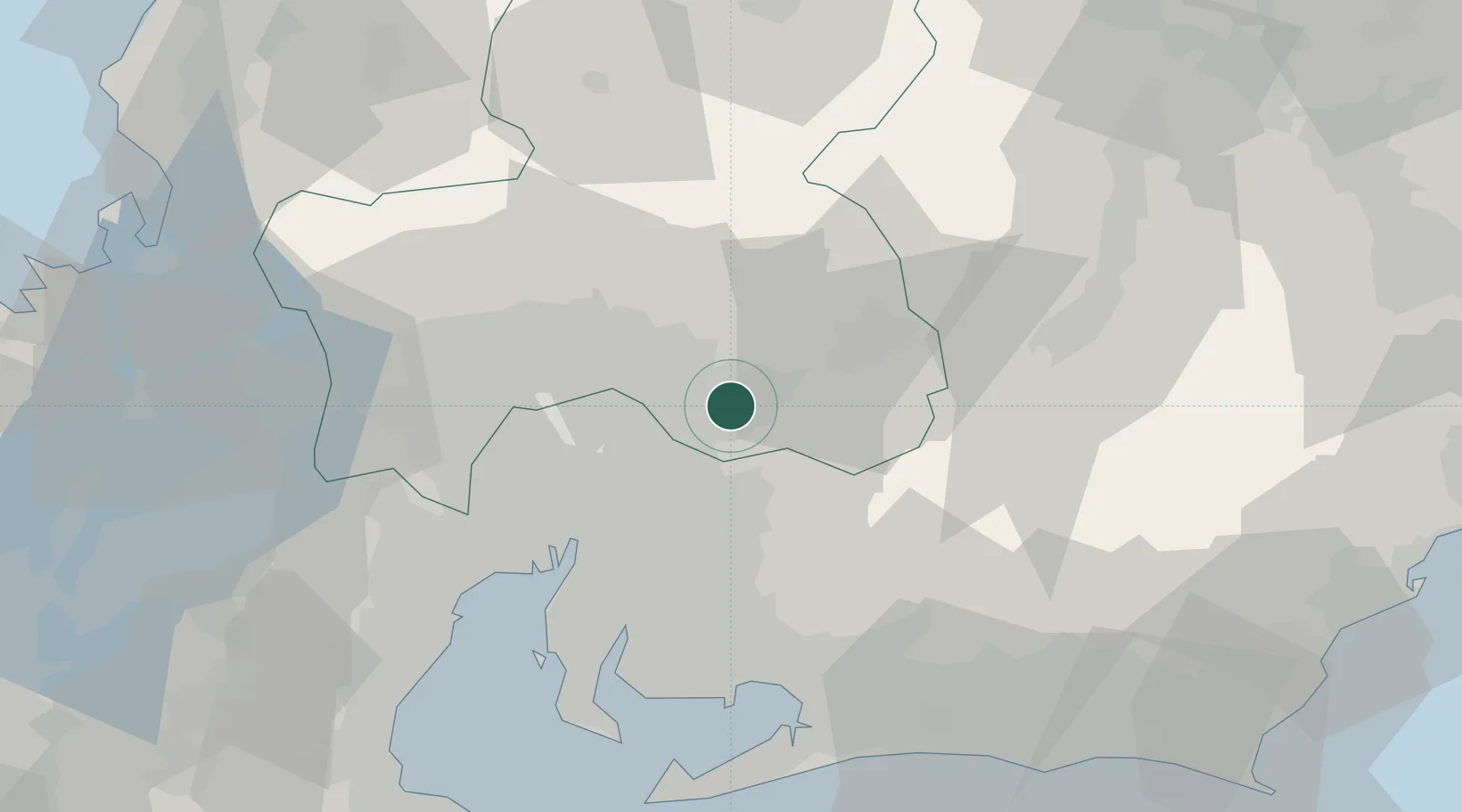
Nearby Logistics Neighbours

Cities
  1. 1Mizunami6 km
  2. 2Owariasahi22 km
  3. 3Nagakute, Aichi23 km
  4. 4Ena24 km
  5. 5Toyoyama, Aichi27 km
Nearest neighbours — logibook spatial index (haversine) over the source coordinates
Ports
  1. 1Nagoya Ko43 km
  2. 2Gamagori Ko59 km
  3. 3Kinuura Ko60 km
  4. 4Yokkaichi66 km
  5. 5Mikawa71 km
Nearest neighbours — logibook spatial index (haversine) over the source coordinates
Airports
  1. 1Nagoya Airport / JASDF Komaki Air Base26 km
  2. 2Gifu Airport29 km
  3. 3Chubu Centrair International Airport65 km
  4. 4JASDF Hamamatsu Air Base82 km
  5. 5Mount Fuji Shizuoka Airport111 km
Nearest neighbours — logibook spatial index (haversine) over the source coordinates
DatabookThe Record of Consolidated Knowledge
Japan beyond logistics?
Browse databook

All Sources

LocationsUN/LOCODE
UN/LOCODE — free
Portsthe NGA World Port Index
Public domain (US gov)
AirportsOurAirports
Public domain
Trade Zonesthe World Bank SEZ database
CC BY 4.0
Trade ZonesOpen Zone Map
CC BY
← Japan locations