About
Methodology
Sources
Licensing
English
EN
English
TR
Türkçe
DE
Deutsch
FR
Français
ES
Español
IT
Italiano
PT
Português
NL
Nederlands
PL
Polski
RU
Русский
UK
Українська
CS
Čeština
RO
Română
EL
Ελληνικά
BG
Български
AR
العربية
FA
فارسی
UR
اردو
HI
हिन्दी
BN
বাংলা
ID
Bahasa Indonesia
VI
Tiếng Việt
ZH
中文
JA
日本語
KO
한국어
logibook
/
Countries
/
Japan
/
Locations
/
Aioi
UN/LOCODE hub ·
Japan
JP
AIO
Aioi
34.7833°, 134.4667°
28,355
Population
1
Transport functions
Transport Functions
Port
Aioi is also a profiled seaport →
UN/LOCODE
Hub Profile
Place type
Provincial seat
GeoNames
Region
Hyōgo
GeoNames
Population
28,355
GeoNames
Time zone
Asia/Tokyo
GeoNames
Elevation
8 m
GeoNames
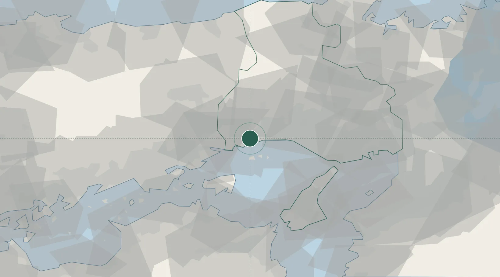
Location
Natural Earth 10m (public domain) · Hyōgo · JPAIO · 34.78, 134.47
Google ↗
OSM ↗
Yandex ↗
Nearby Logistics Neighbours
Cities
1
Bizen
27 km
2
Wake
36 km
3
Setouchi
36 km
4
Kasai
37 km
5
Miki
47 km
Nearest neighbours — logibook spatial index (haversine) over the source coordinates
Ports
1
Hirohata
15 km
2
Himeji
16 km
3
Shikama
17 km
4
Higashi-Harima
35 km
5
Kakogawa
35 km
Nearest neighbours — logibook spatial index (haversine) over the source coordinates
Airports
1
Okayama Momotaro Airport
56 km
2
Kobe Airport
71 km
3
Tokushima Awaodori Airport / JMSDF Tokushima Air Base
74 km
4
Takamatsu Airport
76 km
5
Kansai International Airport
81 km
Nearest neighbours — logibook spatial index (haversine) over the source coordinates
Trade Zones
1
Okayama-type Sustainable Socio-Economic Model Construction Comprehensive Special Zone
52 km
2
Takamatsu Compact Eco-City Special Zone
61 km
3
Awaji Environmental Future Island Special Zone
63 km
4
Yabu City Strategic Special Zone
74 km
5
Hyper & Green Innovation Mizushima Complex General Special Zone
75 km
Nearest neighbours — logibook spatial index (haversine) over the source coordinates
Data
book
The Record of Consolidated Knowledge
Japan beyond logistics?
Browse databook
→
All Sources
Locations
UN/LOCODE
UN/LOCODE — free
↗
Locations
GeoNames
CC BY 4.0
↗
Ports
the NGA World Port Index
Public domain (US gov)
↗
Airports
OurAirports
Public domain
↗
Trade Zones
the World Bank SEZ database
CC BY 4.0
↗
Trade Zones
Open Zone Map
CC BY
↗
← Japan locations