Transport Functions
Port
Hub Profile
Region
26
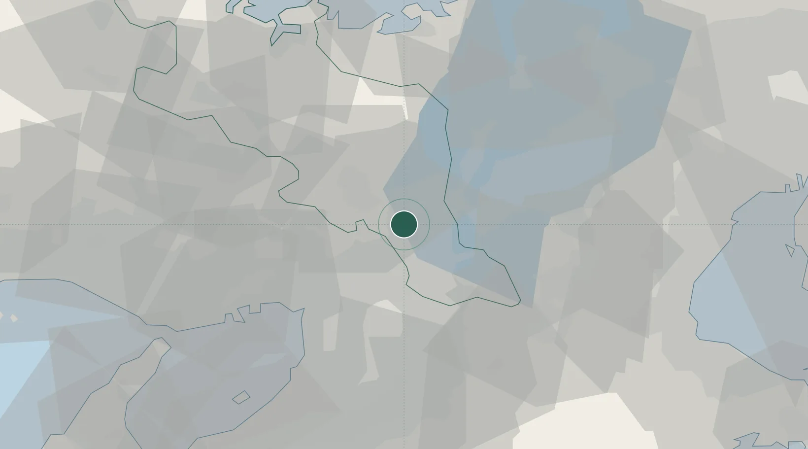
Location
Nearby Logistics Neighbours
Ports
- 1Amagasaki39 km
- 2Osaka40 km
- 3Sakai-Senboku49 km
- 4Kobe57 km
- 5Hannan Ko61 km
Airports
- 1Osaka Itami International Airport29 km
- 2Yao Airport39 km
- 3Kobe Airport55 km
- 4Kansai International Airport70 km
- 5Chubu Centrair International Airport101 km
Trade Zones
- 1Kyoto City Regional Revitalization Comprehensive Special Zone17 km
- 2Lake Biwa Southern Area New Industry Creation Special Zone20 km
- 3Nara Park Tourist Area Revitalization Comprehensive Special Zone31 km
- 4Kansai Innovation International Strategic Comprehensive Special Zone34 km
- 5Mie Life Innovation Comprehensive Special Zone45 km
DatabookThe Record of Consolidated Knowledge
Japan beyond logistics?