Transport Functions
Multimodal
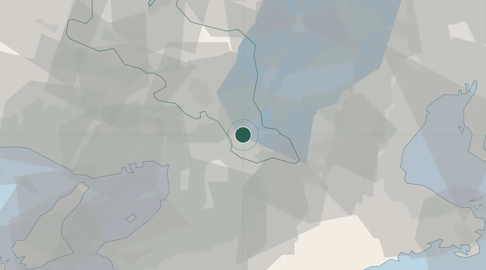
Hub Profile
Place type
Provincial seat
Region
Kyoto
Population
74,607
Time zone
Asia/Tokyo
Elevation
88 m
Location
Nearby Logistics Neighbours
Cities
- 1Ujitawara8 km
- 2Kizugawa12 km
- 3Nagaokakyo13 km
- 4Takatsuki14 km
- 5Ikoma18 km
Ports
- 1Osaka37 km
- 2Amagasaki38 km
- 3Sakai-Senboku44 km
- 4Hannan Ko56 km
- 5Kobe57 km
Airports
- 1Yao Airport30 km
- 2Osaka Itami International Airport30 km
- 3Kobe Airport54 km
- 4Kansai International Airport66 km
- 5Chubu Centrair International Airport95 km
Trade Zones
- 1Nara Park Tourist Area Revitalization Comprehensive Special Zone18 km
- 2Lake Biwa Southern Area New Industry Creation Special Zone20 km
- 3Kyoto City Regional Revitalization Comprehensive Special Zone25 km
- 4Kansai Innovation International Strategic Comprehensive Special Zone31 km
- 5Mie Life Innovation Comprehensive Special Zone36 km
DatabookThe Record of Consolidated Knowledge
Japan beyond logistics?