Transport Functions
Multimodal
Hub Profile
Place type
Provincial seat
Region
Nara
Population
120,741
Time zone
Asia/Tokyo
Elevation
146 m
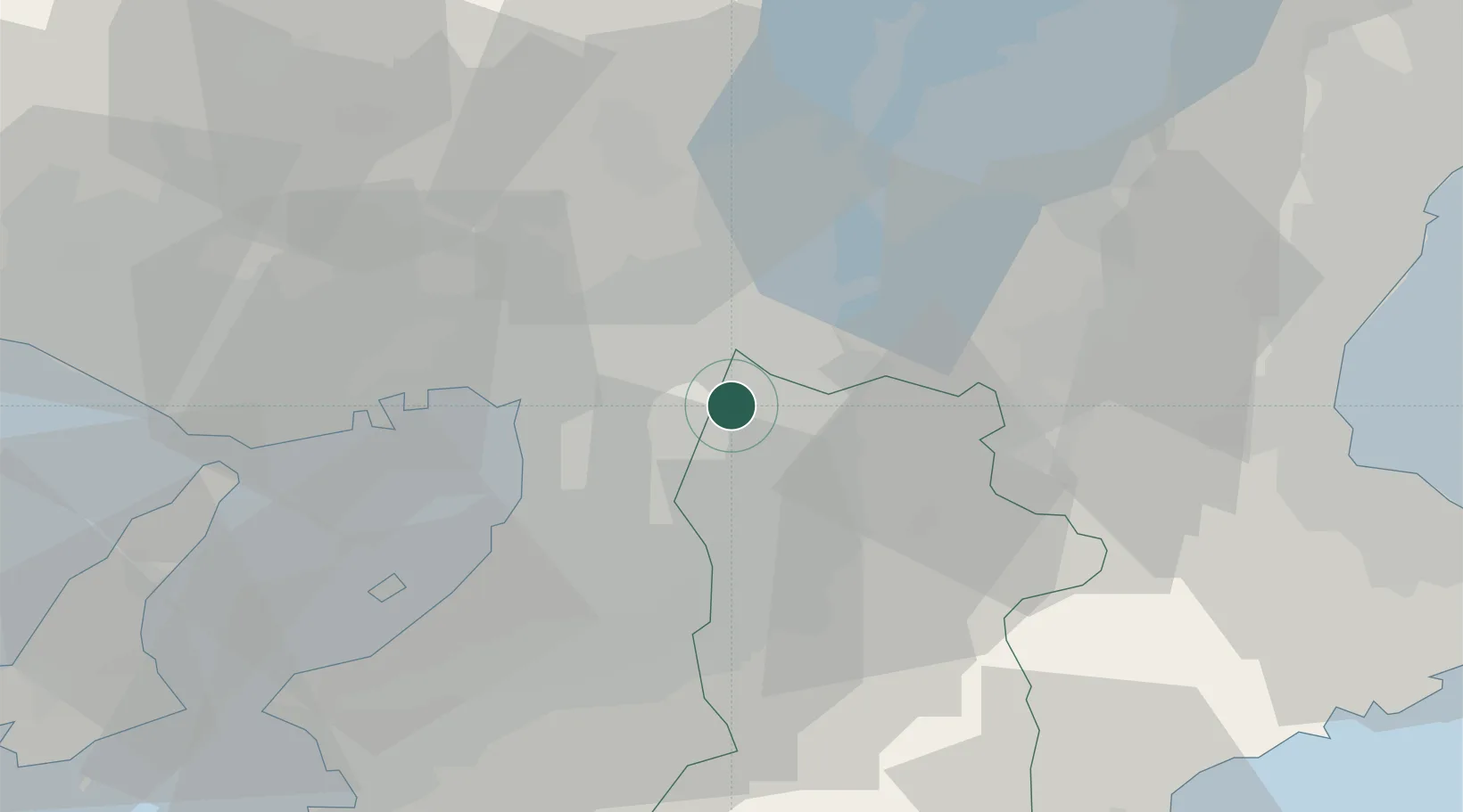
Location
Nearby Logistics Neighbours
Cities
- 1Daito, Osaka8 km
- 2Yamatokoriyama9 km
- 3Higashiosaka City11 km
- 4Kadoma12 km
- 5Kizugawa12 km
Ports
- 1Osaka25 km
- 2Sakai-Senboku29 km
- 3Amagasaki29 km
- 4Hannan Ko40 km
- 5Kobe47 km
Airports
- 1Yao Airport13 km
- 2Osaka Itami International Airport26 km
- 3Kobe Airport44 km
- 4Kansai International Airport51 km
- 5Chubu Centrair International Airport103 km
Trade Zones
- 1Nara Park Tourist Area Revitalization Comprehensive Special Zone13 km
- 2Kansai Innovation International Strategic Comprehensive Special Zone20 km
- 3Lake Biwa Southern Area New Industry Creation Special Zone37 km
- 4Mie Life Innovation Comprehensive Special Zone41 km
- 5Kyoto City Regional Revitalization Comprehensive Special Zone43 km
DatabookThe Record of Consolidated Knowledge
Japan beyond logistics?