Transport Functions
Multimodal
Hub Profile
Place type
Provincial seat
Region
Osaka
Population
109,479
Time zone
Asia/Tokyo
Elevation
61 m
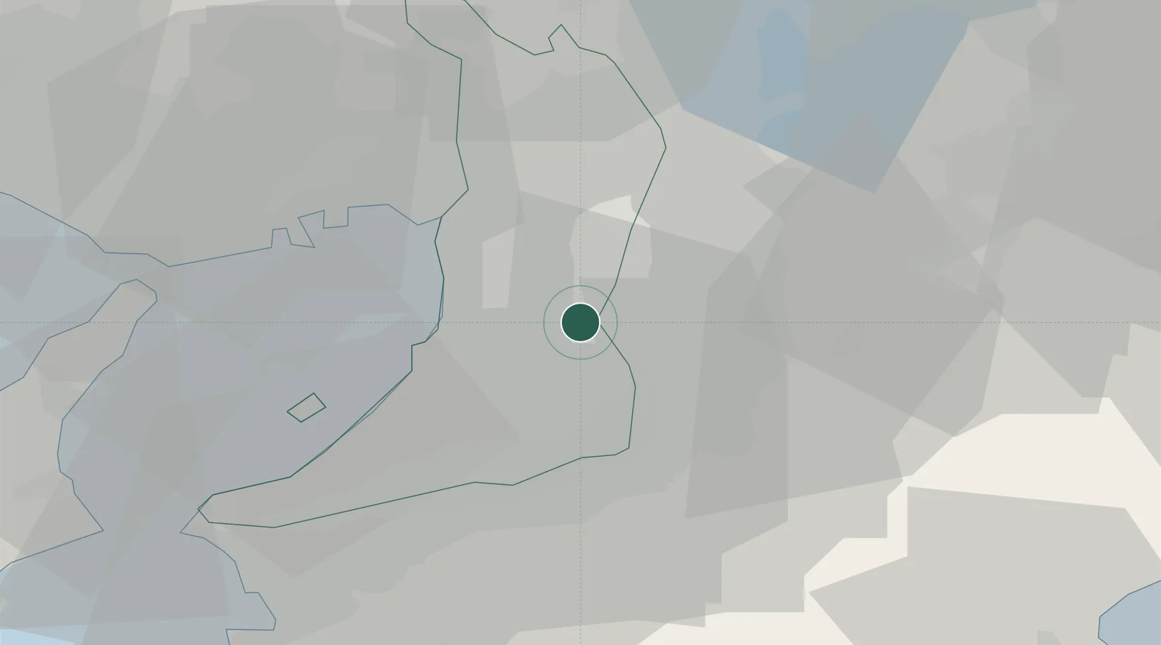
Location
Nearby Logistics Neighbours
Cities
- 1Fujiidera2 km
- 2Tondabayashi6 km
- 3Osakasayama, Osaka7 km
- 4Kawachi Nagano12 km
- 5Higashiosaka City13 km
Ports
- 1Sakai-Senboku15 km
- 2Osaka19 km
- 3Hannan Ko25 km
- 4Amagasaki26 km
- 5Kobe40 km
Airports
- 1Yao Airport5 km
- 2Osaka Itami International Airport30 km
- 3Kansai International Airport35 km
- 4Kobe Airport36 km
- 5Nanki Shirahama Airport101 km
Trade Zones
- 1Kansai Innovation International Strategic Comprehensive Special Zone19 km
- 2Nara Park Tourist Area Revitalization Comprehensive Special Zone27 km
- 3Rinku Town Izumisano City Area Regional Revitalization Comprehensive Special Zone32 km
- 4Wakayama Prefecture "Takano Kumano" Cultural and Regional Promotion Comprehensive Special Zone37 km
- 5Lake Biwa Southern Area New Industry Creation Special Zone54 km
DatabookThe Record of Consolidated Knowledge
Japan beyond logistics?