Transport Functions
Multimodal
Hub Profile
Region
13
Location
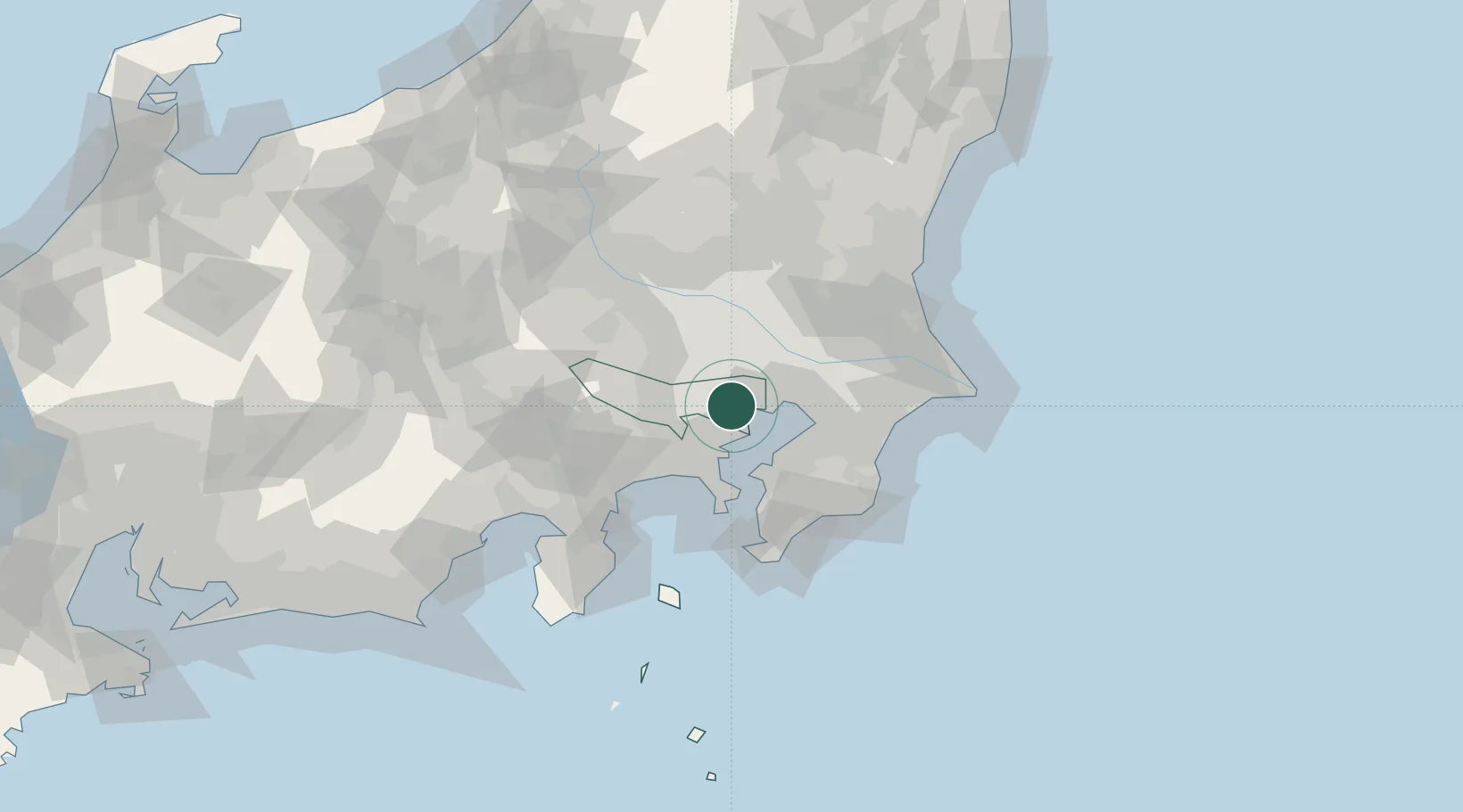
Nearby Logistics Neighbours
Cities
- 1Meguro2 km
- 2Minato-Ku, Tokyo2 km
- 3Tokyo-To4 km
- 4Shinjuku-ku4 km
- 5Setagaya-ku/Tokyo5 km
Ports
- 1Tokyo Ko5 km
- 2Kawasaki Ko18 km
- 3Funabashi23 km
- 4Yokohama Ko25 km
- 5Chiba Ko34 km
Airports
Trade Zones
- 1Tokyo Area National Strategic Special Zone6 km
- 2Special International Zone for Asian Headquarters7 km
- 3KING Skyfront, Tonomachi International Strategic Zone13 km
- 4Keihin Coastal Area Life Innovation International Strategic Comprehensive Special Zone20 km
- 5Saitama Next-Generation Automobile Smart Energy Special Zone29 km
DatabookThe Record of Consolidated Knowledge
Japan beyond logistics?