Transport Functions
Multimodal
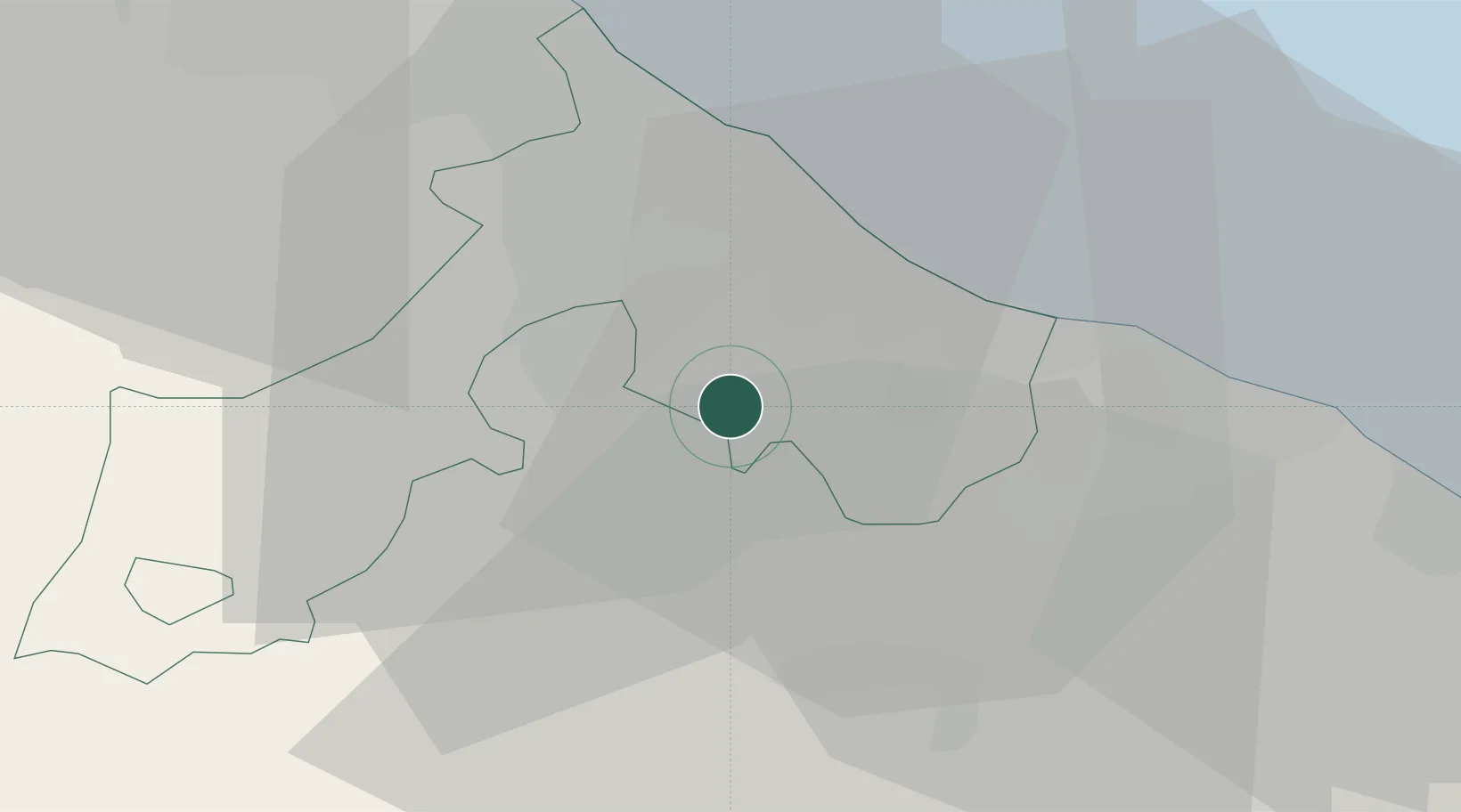
Hub Profile
Place type
Populated place
Region
Emilia-Romagna
Population
565
Time zone
Europe/Rome
Elevation
167 m
Location
Nearby Logistics Neighbours
Cities
- 1Gemmano6 km
- 2Cerasolo8 km
- 3Gallo di Petriano8 km
- 4Casalecchio11 km
- 5Riccione11 km
Ports
- 1Rimini18 km
- 2Pesaro28 km
- 3Cesenatico34 km
- 4Fano38 km
- 5Senigallia58 km
Airports
Trade Zones
DatabookThe Record of Consolidated Knowledge
Italy beyond logistics?