Transport Functions
Multimodal
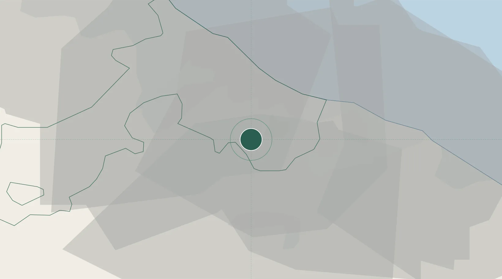
Hub Profile
Place type
District seat
Region
Emilia-Romagna
Population
360
Time zone
Europe/Rome
Elevation
404 m
Location
Nearby Logistics Neighbours
Cities
- 1Taverna6 km
- 2Gallo di Petriano7 km
- 3Riccione10 km
- 4Misano Adriatico10 km
- 5Casalecchio11 km
Ports
- 1Rimini20 km
- 2Pesaro23 km
- 3Fano32 km
- 4Cesenatico38 km
- 5Senigallia52 km
Airports
Trade Zones
DatabookThe Record of Consolidated Knowledge
Italy beyond logistics?