Transport Functions
Multimodal
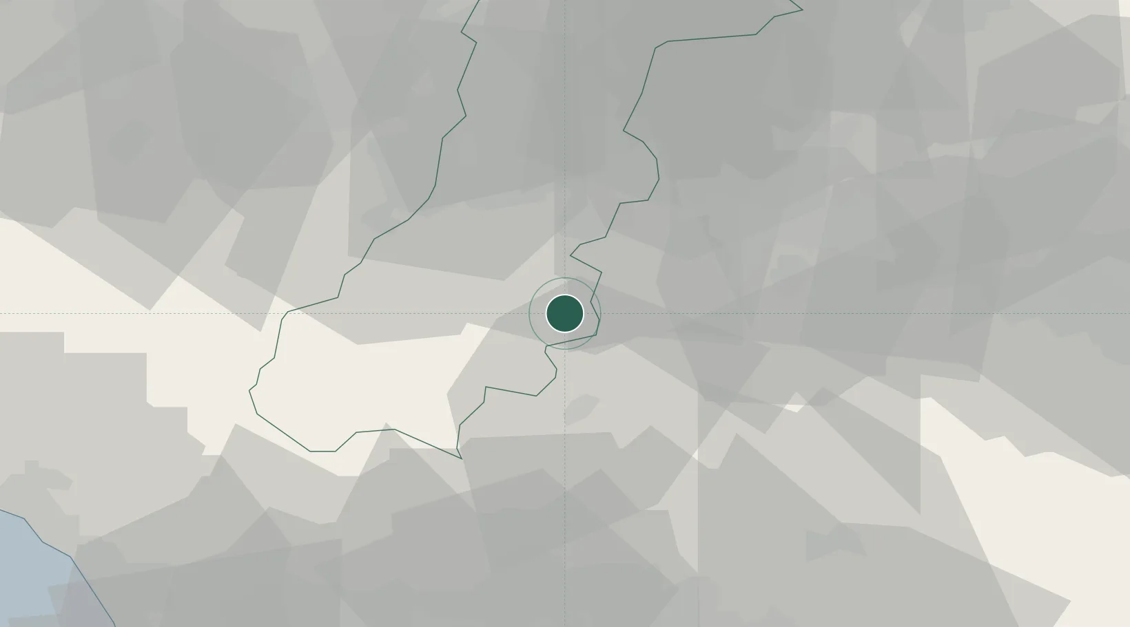
Hub Profile
Place type
District seat
Region
Emilia-Romagna
Population
1,773
Time zone
Europe/Rome
Elevation
758 m
Location
Nearby Logistics Neighbours
Cities
- 1Castello di Serravalle10 km
- 2Marano sul Panaro11 km
- 3Riola11 km
- 4Marzabotto17 km
- 5Serramazzoni18 km
Ports
- 1Viareggio81 km
- 2Marina Di Carrara83 km
- 3La Spezia96 km
- 4Porto Di Corsini105 km
- 5Livorno106 km
Airports
- 1Bologna Guglielmo Marconi Airport32 km
- 2Florence Airport, Peretola63 km
- 3Parma Airport76 km
- 4Sarzana-Luni Air Base85 km
- 5Pisa International Airport88 km
Trade Zones
DatabookThe Record of Consolidated Knowledge
Italy beyond logistics?