UN/LOCODE hub · Italy
ITZBT

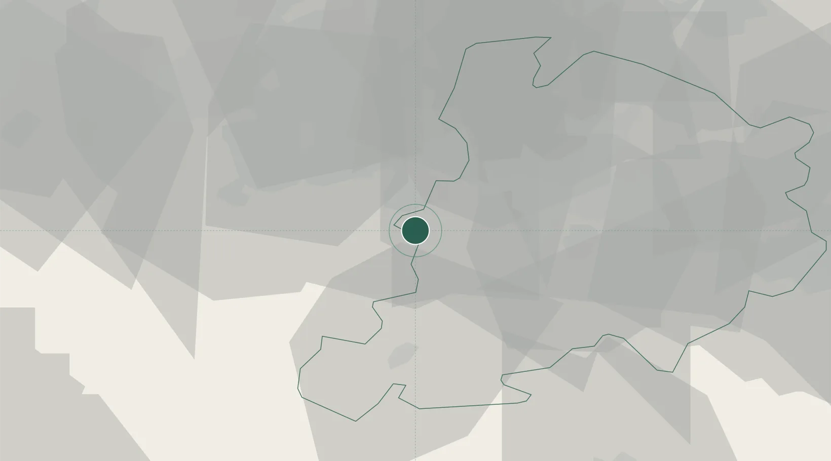
Castello di Serravalle

44.4333°, 11.0333°
47
Population
1
Transport functions

Transport Functions

Multimodal
UN/LOCODE

Hub Profile

Place type
Populated place
GeoNames
Region
Emilia-Romagna
GeoNames
Population
47
GeoNames
Time zone
Europe/Rome
GeoNames
Elevation
323 m
GeoNames

Location

Location of ITZBT
Natural Earth 10m (public domain) · Emilia-Romagna · ITZBT · 44.43, 11.03GoogleOSMYandex

Nearby Logistics Neighbours

Cities
  1. 1Marano sul Panaro6 km
  2. 2Zocca10 km
  3. 3Torre Maina15 km
  4. 4Maranello17 km
  5. 5Marzabotto17 km
Nearest neighbours — logibook spatial index (haversine) over the source coordinates
Ports
  1. 1Viareggio90 km
  2. 2Marina Di Carrara91 km
  3. 3Porto Di Corsini100 km
  4. 4Porto Garibaldi100 km
  5. 5La Spezia103 km
Nearest neighbours — logibook spatial index (haversine) over the source coordinates
Airports
  1. 1Bologna Guglielmo Marconi Airport23 km
  2. 2Florence Airport, Peretola71 km
  3. 3Parma Airport73 km
  4. 4Forlì-Luigi Ridolfi International Airport87 km
  5. 5Sarzana-Luni Air Base92 km
Nearest neighbours — logibook spatial index (haversine) over the source coordinates
Trade Zones
  1. 1Consorzio Zona Industriale e Porto Fluviale di Padova127 km
  2. 2Free Port of Venice150 km
  3. 3Port of Pula Free Zone227 km
  4. 4Magazzini Generali Con Chiasso227 km
  5. 5Livigno Free Trade Zone245 km
Nearest neighbours — logibook spatial index (haversine) over the source coordinates
DatabookThe Record of Consolidated Knowledge
Italy beyond logistics?
Browse databook

All Sources

LocationsUN/LOCODE
UN/LOCODE — free
LocationsGeoNames
CC BY 4.0
Portsthe NGA World Port Index
Public domain (US gov)
AirportsOurAirports
Public domain
Trade Zonesthe World Bank SEZ database
CC BY 4.0
Trade ZonesOpen Zone Map
CC BY
← Italy locations