Transport Functions
Multimodal
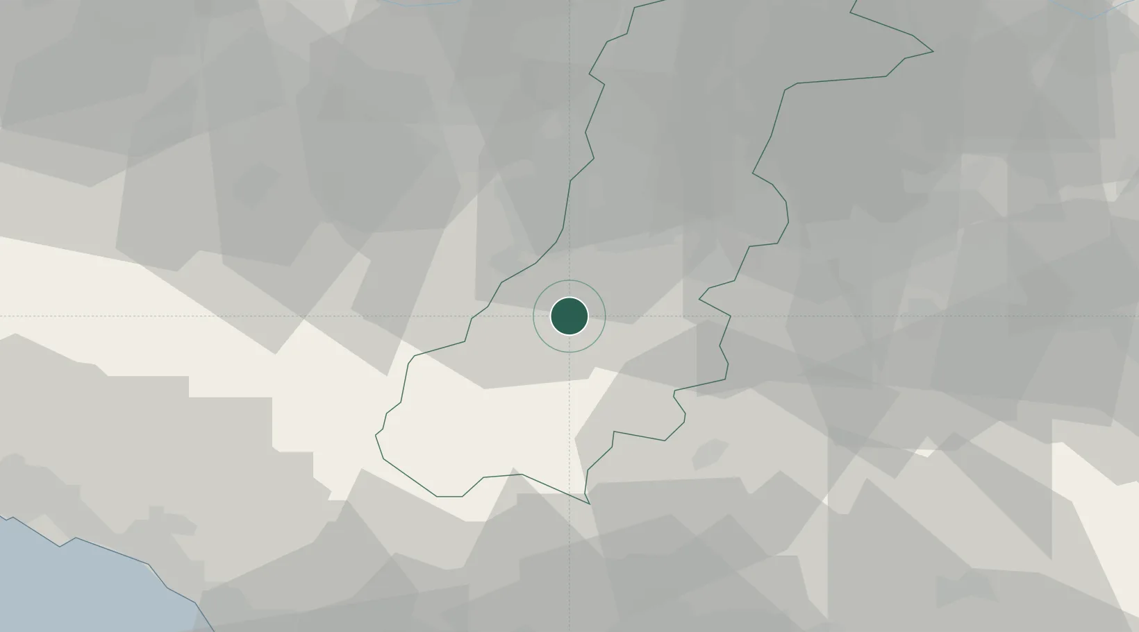
Hub Profile
Place type
District seat
Region
Emilia-Romagna
Population
3,232
Time zone
Europe/Rome
Elevation
791 m
Location
Nearby Logistics Neighbours
Cities
- 1Monfestino in Serramazzoni1 km
- 2Torre Maina11 km
- 3Montefiorino14 km
- 4Maranello15 km
- 5Marano sul Panaro15 km
Ports
- 1Marina Di Carrara73 km
- 2Viareggio76 km
- 3La Spezia83 km
- 4Livorno105 km
- 5Chiavari - Lavagna117 km
Airports
- 1Bologna Guglielmo Marconi Airport42 km
- 2Parma Airport60 km
- 3Sarzana-Luni Air Base73 km
- 4Florence Airport, Peretola76 km
- 5Pisa International Airport87 km
Trade Zones
DatabookThe Record of Consolidated Knowledge
Italy beyond logistics?