Transport Functions
Road
Multimodal
Hub Profile
Place type
Populated place
Region
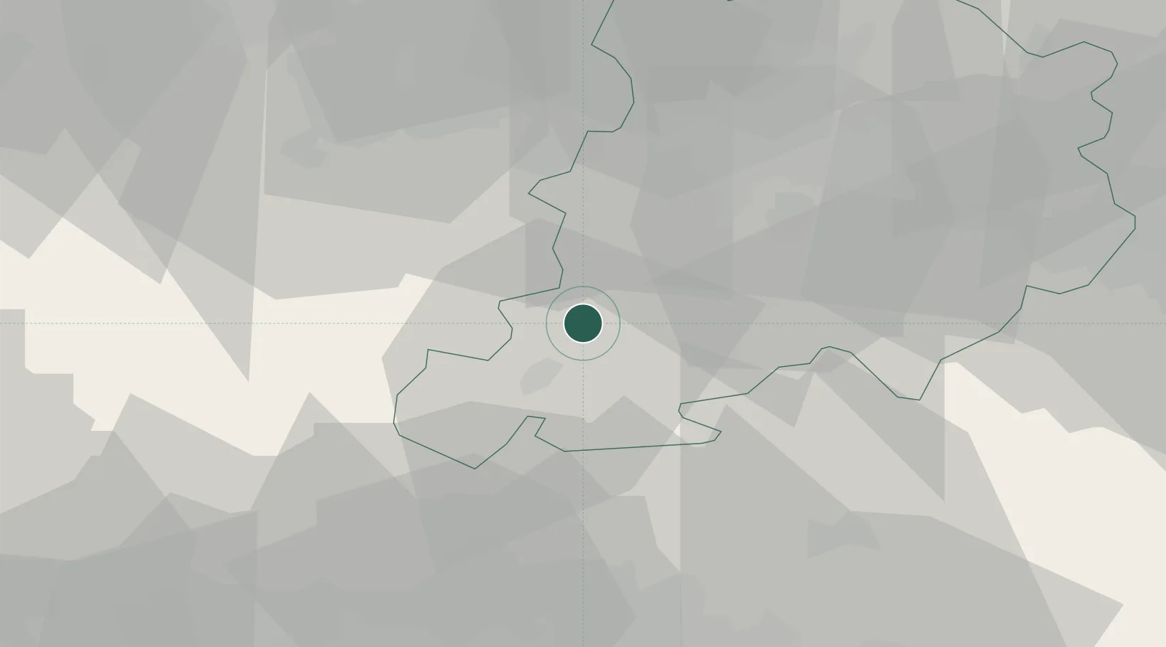
Emilia-Romagna
Population
882
Time zone
Europe/Rome
Elevation
274 m
Location
Nearby Logistics Neighbours
Cities
- 1Zocca11 km
- 2Marzabotto13 km
- 3Castiglione dei Pepoli16 km
- 4Castello di Serravalle19 km
- 5Marano sul Panaro22 km
Ports
- 1Viareggio80 km
- 2Marina Di Carrara86 km
- 3La Spezia100 km
- 4Porto Di Corsini101 km
- 5Livorno102 km
Airports
Trade Zones
DatabookThe Record of Consolidated Knowledge
Italy beyond logistics?