Transport Functions
Multimodal
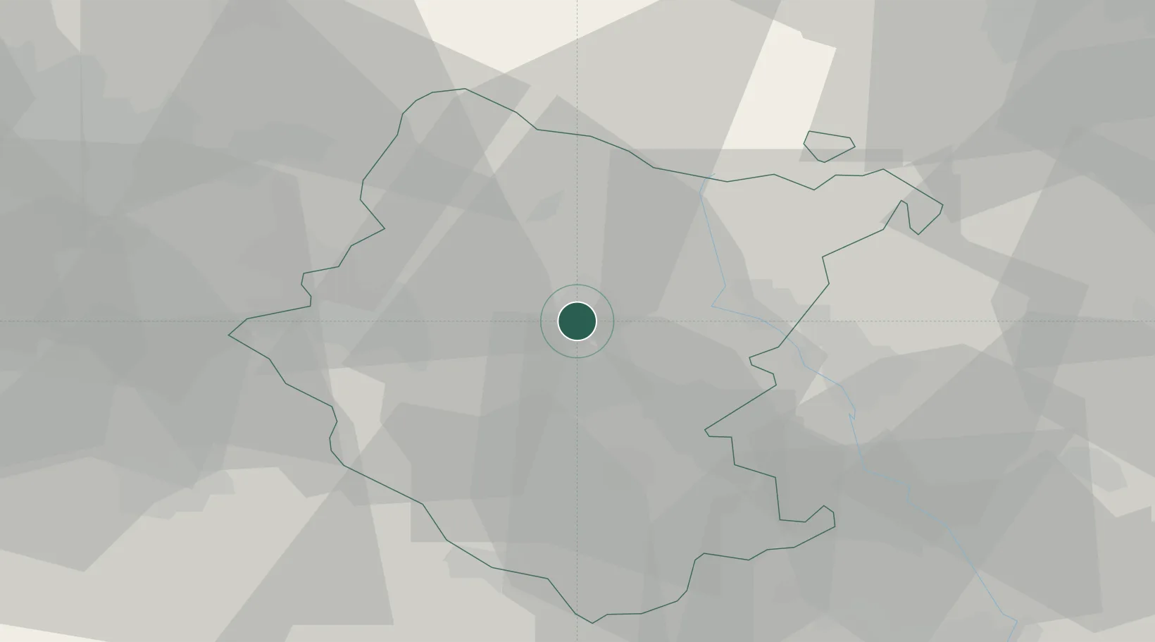
Hub Profile
Place type
District seat
Region
Tuscany
Population
3,620
Time zone
Europe/Rome
Elevation
266 m
Location
Nearby Logistics Neighbours
Cities
- 1Soci19 km
- 2Sansepolcro22 km
- 3Bucine22 km
- 4Monterchi22 km
- 5Lippiano24 km
Ports
- 1Rimini81 km
- 2Cesenatico84 km
- 3Pesaro92 km
- 4Fano98 km
- 5Porto Di Corsini109 km
Airports
Trade Zones
DatabookThe Record of Consolidated Knowledge
Italy beyond logistics?