Transport Functions
Road
Multimodal
Hub Profile
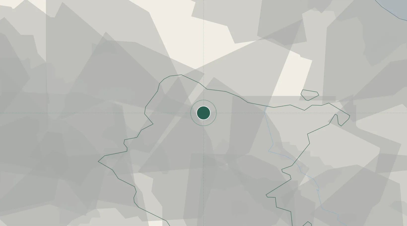
Place type
Populated place
Region
Tuscany
Population
3,733
Time zone
Europe/Rome
Elevation
400 m
Location
Nearby Logistics Neighbours
Cities
- 1Mercatale Valdarno13 km
- 2Subbiano19 km
- 3Reggello22 km
- 4Sant'Ellero27 km
- 5Rignano sull'Arno28 km
Ports
- 1Cesenatico72 km
- 2Rimini73 km
- 3Pesaro91 km
- 4Porto Di Corsini93 km
- 5Fano99 km
Airports
Trade Zones
DatabookThe Record of Consolidated Knowledge
Italy beyond logistics?