Transport Functions
Multimodal
Hub Profile
Place type
Populated place
Region
Tuscany
Population
5,046
Time zone
Europe/Rome
Elevation
10 m
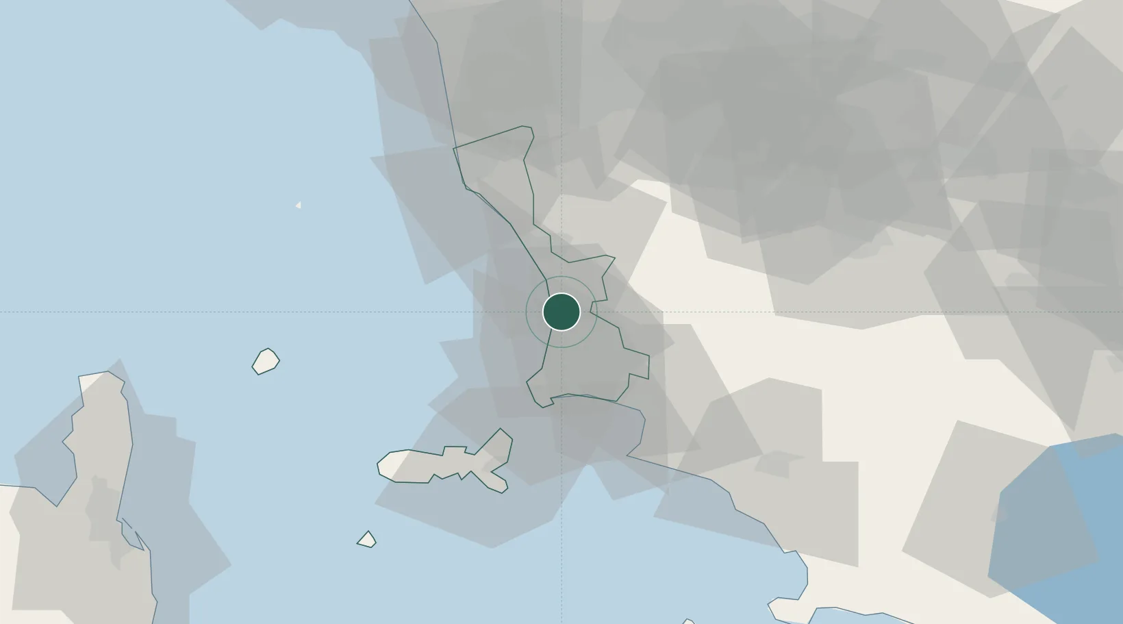
Location
Nearby Logistics Neighbours
Cities
- 1Suvereto12 km
- 2Cecina17 km
- 3Ponteginori23 km
- 4Rosignano Solvay26 km
- 5Castiglioncello29 km
Ports
- 1Vada23 km
- 2Portovecchio Di Piombino26 km
- 3Portoferraio43 km
- 4Livorno47 km
- 5Viareggio82 km
Airports
Trade Zones
DatabookThe Record of Consolidated Knowledge
Italy beyond logistics?