Transport Functions
Port
Rail
Road
Hub Profile
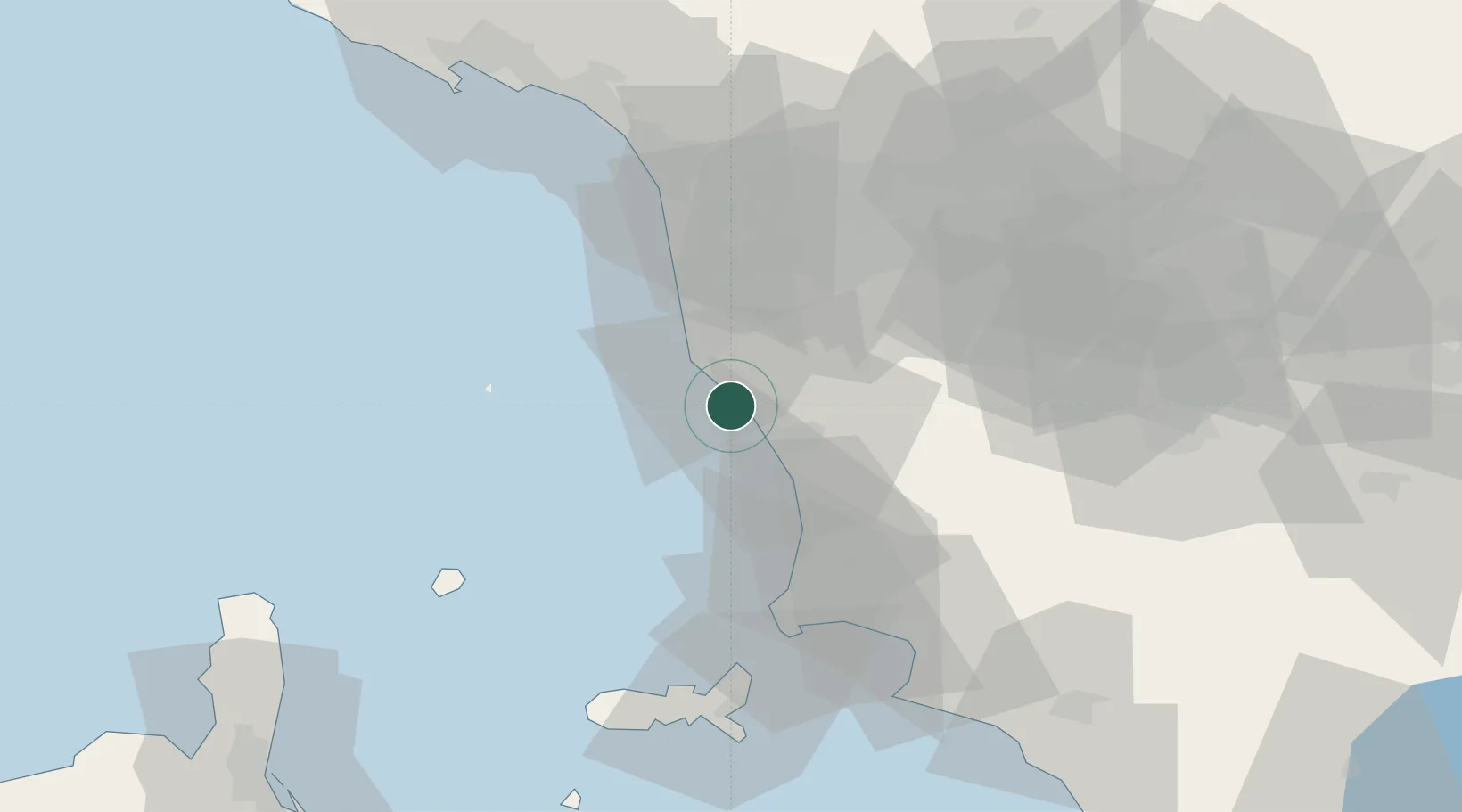
Place type
Populated place
Region
Tuscany
Time zone
Europe/Rome
Elevation
21 m
Location
Nearby Logistics Neighbours
Cities
- 1Rosignano Solvay3 km
- 2Cecina13 km
- 3Guasticce20 km
- 4Livorno21 km
- 5Crespina23 km
Ports
- 1Vada7 km
- 2Livorno18 km
- 3Viareggio53 km
- 4Portovecchio Di Piombino54 km
- 5Portoferraio65 km
Airports
- 1Pisa International Airport32 km
- 2Siena-Ampugnano Airport71 km
- 3Marina di Campo Airport72 km
- 4Florence Airport, Peretola79 km
- 5Sarzana-Luni Air Base83 km
Trade Zones
DatabookThe Record of Consolidated Knowledge
Italy beyond logistics?