Transport Functions
Multimodal
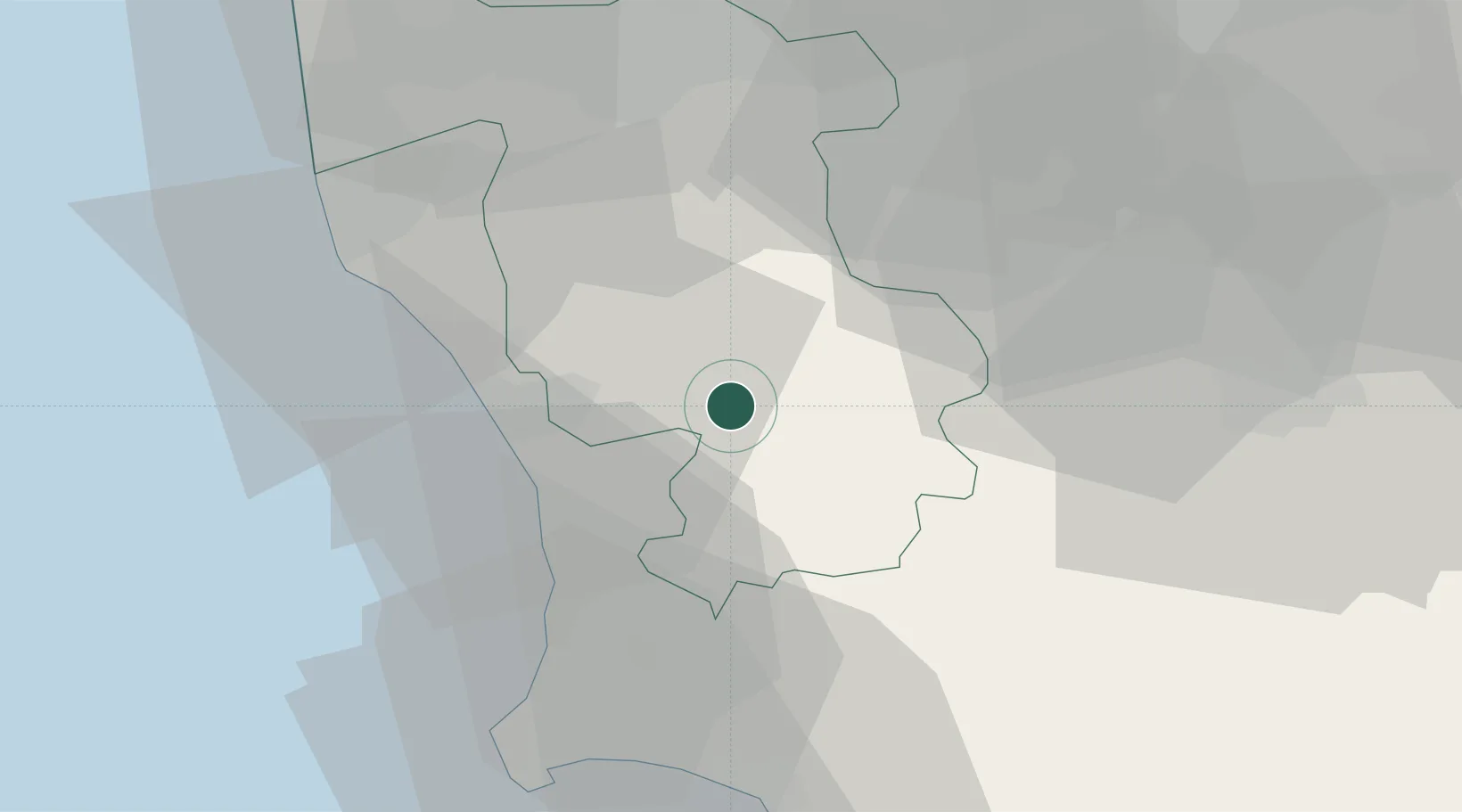
Hub Profile
Place type
Populated place
Region
Tuscany
Population
464
Time zone
Europe/Rome
Elevation
54 m
Location
Nearby Logistics Neighbours
Cities
- 1Cecina18 km
- 2Pignano21 km
- 3Donoratico23 km
- 4Peccioli24 km
- 5Casole d'Elsa24 km
Ports
- 1Vada23 km
- 2Livorno43 km
- 3Portovecchio Di Piombino47 km
- 4Portoferraio66 km
- 5Viareggio71 km
Airports
Trade Zones
- 1Abruzzo Special Economic Zone242 km
- 2Consorzio Zona Industriale e Porto Fluviale di Padova247 km
- 3Free Port of Venice265 km
- 4ZFU LAriane282 km
- 5Port of Pula Free Zone300 km
DatabookThe Record of Consolidated Knowledge
Italy beyond logistics?