UN/LOCODE hub · Italy
ITGSV

Rosignano Solvay

43.3833°, 10.4333°
3
Transport functions

Transport Functions

Port
Rail
Road
UN/LOCODE

Hub Profile

Region
LI
GeoNames

Location

Location of ITGSV
Natural Earth 10m (public domain) · LI · ITGSV · 43.38, 10.43GoogleOSMYandex

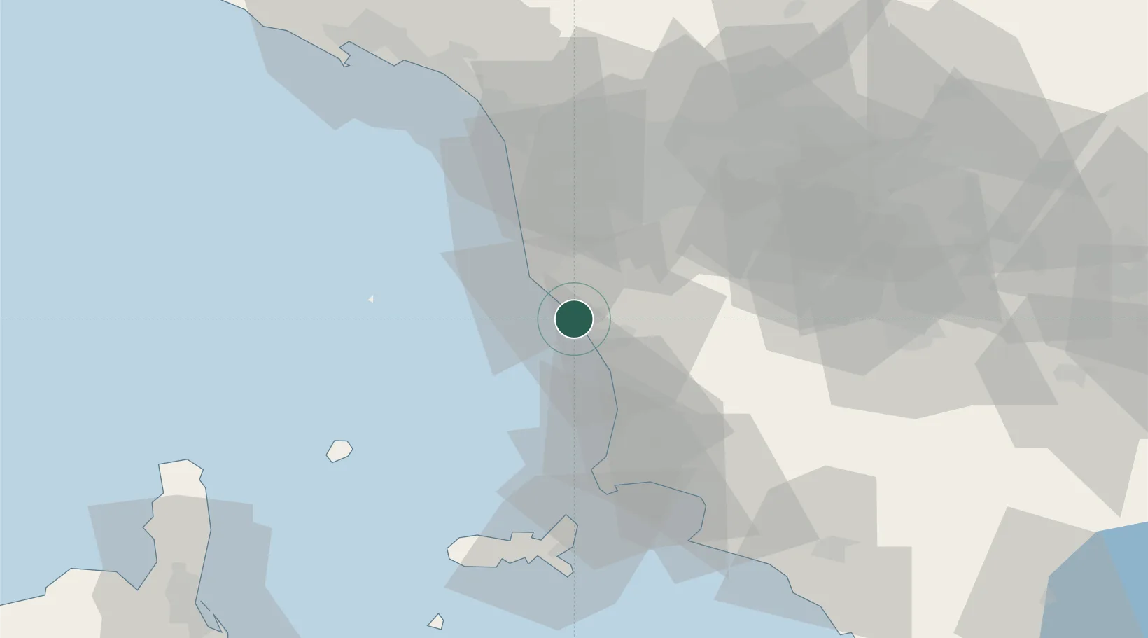
Nearby Logistics Neighbours

Cities
  1. 1Castiglioncello3 km
  2. 2Cecina10 km
  3. 3Guasticce22 km
  4. 4Crespina23 km
  5. 5Livorno23 km
Nearest neighbours — logibook spatial index (haversine) over the source coordinates
Ports
  1. 1Vada4 km
  2. 2Livorno21 km
  3. 3Portovecchio Di Piombino51 km
  4. 4Viareggio56 km
  5. 5Portoferraio64 km
Nearest neighbours — logibook spatial index (haversine) over the source coordinates
Airports
  1. 1Pisa International Airport34 km
  2. 2Siena-Ampugnano Airport68 km
  3. 3Marina di Campo Airport71 km
  4. 4Florence Airport, Peretola78 km
  5. 5Sarzana-Luni Air Base86 km
Nearest neighbours — logibook spatial index (haversine) over the source coordinates
Trade Zones
  1. 1Consorzio Zona Industriale e Porto Fluviale di Padova253 km
  2. 2ZFU LAriane257 km
  3. 3Abruzzo Special Economic Zone267 km
  4. 4Free Port of Venice272 km
  5. 5Magazzini Generali Con Chiasso298 km
Nearest neighbours — logibook spatial index (haversine) over the source coordinates
DatabookThe Record of Consolidated Knowledge
Italy beyond logistics?
Browse databook

All Sources

LocationsUN/LOCODE
UN/LOCODE — free
Portsthe NGA World Port Index
Public domain (US gov)
AirportsOurAirports
Public domain
Trade Zonesthe World Bank SEZ database
CC BY 4.0
Trade ZonesOpen Zone Map
CC BY
← Italy locations