UN/LOCODE hub · Italy
ITCEC

Cecina

43.3167°, 10.5167°
22,018
Population
1
Transport functions

Transport Functions

Port
UN/LOCODE

Hub Profile

Place type
District seat
GeoNames
Region
Tuscany
GeoNames
Population
22,018
GeoNames
Time zone
Europe/Rome
GeoNames
Elevation
15 m
GeoNames

Location

Location of ITCEC
Natural Earth 10m (public domain) · Tuscany · ITCEC · 43.32, 10.52GoogleOSMYandex

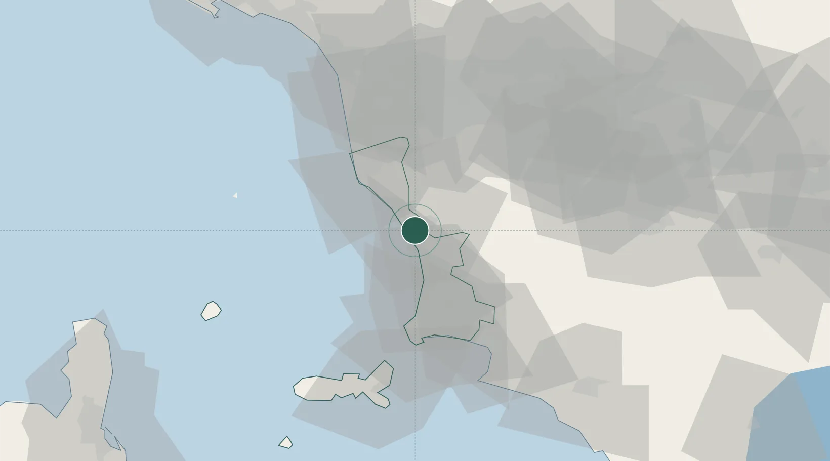
Nearby Logistics Neighbours

Cities
  1. 1Rosignano Solvay10 km
  2. 2Castiglioncello13 km
  3. 3Donoratico17 km
  4. 4Ponteginori18 km
  5. 5Crespina28 km
Nearest neighbours — logibook spatial index (haversine) over the source coordinates
Ports
  1. 1Vada7 km
  2. 2Livorno31 km
  3. 3Portovecchio Di Piombino43 km
  4. 4Portoferraio58 km
  5. 5Viareggio65 km
Nearest neighbours — logibook spatial index (haversine) over the source coordinates
Airports
  1. 1Pisa International Airport42 km
  2. 2Siena-Ampugnano Airport60 km
  3. 3Marina di Campo Airport66 km
  4. 4Grosseto Corrado Baccarini Air Base / Grosseto Airport77 km
  5. 5Florence Airport, Peretola78 km
Nearest neighbours — logibook spatial index (haversine) over the source coordinates
Trade Zones
  1. 1Consorzio Zona Industriale e Porto Fluviale di Padova256 km
  2. 2Abruzzo Special Economic Zone257 km
  3. 3ZFU LAriane265 km
  4. 4Free Port of Venice275 km
  5. 5Magazzini Generali Con Chiasso308 km
Nearest neighbours — logibook spatial index (haversine) over the source coordinates
DatabookThe Record of Consolidated Knowledge
Italy beyond logistics?
Browse databook

All Sources

LocationsUN/LOCODE
UN/LOCODE — free
LocationsGeoNames
CC BY 4.0
Portsthe NGA World Port Index
Public domain (US gov)
AirportsOurAirports
Public domain
Trade Zonesthe World Bank SEZ database
CC BY 4.0
Trade ZonesOpen Zone Map
CC BY
← Italy locations