Transport Functions
Multimodal
Hub Profile
Place type
District seat
Region
Tuscany
Population
2,117
Time zone
Europe/Rome
Elevation
90 m
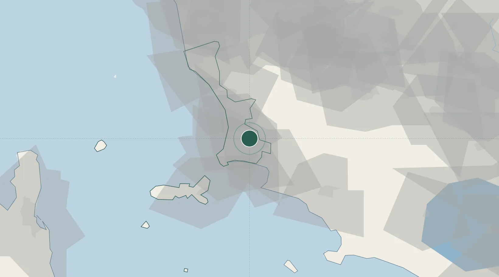
Location
Nearby Logistics Neighbours
Cities
- 1Donoratico12 km
- 2Follonica20 km
- 3Ponteginori28 km
- 4Cecina29 km
- 5Cavo33 km
Ports
- 1Portovecchio Di Piombino19 km
- 2Vada35 km
- 3Portoferraio40 km
- 4Livorno59 km
- 5Porto Santo Stefano81 km
Airports
Trade Zones
DatabookThe Record of Consolidated Knowledge
Italy beyond logistics?