Transport Functions
Rail
Road
Multimodal
Hub Profile
Place type
District seat
Region
Emilia-Romagna
Population
1,234
Time zone
Europe/Rome
Elevation
19 m
Logistics facilities
2
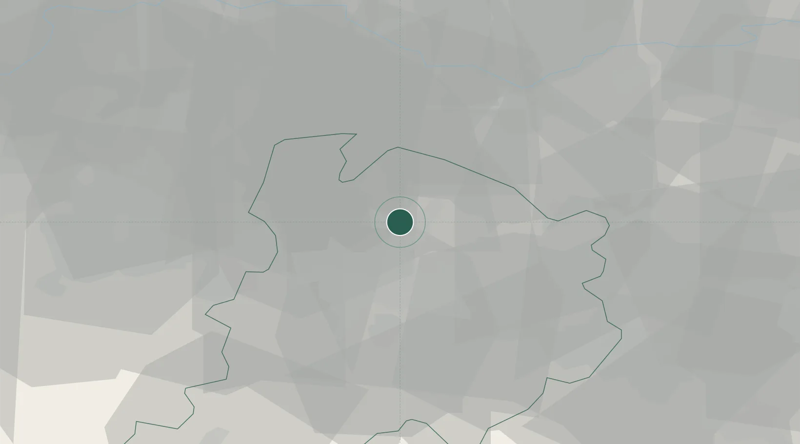
Location
Nearby Logistics Neighbours
Cities
- 1San Giorgio di Piano3 km
- 2Molinella4 km
- 3Ca de Fabbri6 km
- 4Castello D'Argile9 km
- 5Cadriano11 km
Ports
- 1Porto Garibaldi69 km
- 2Porto Di Corsini74 km
- 3Cesenatico94 km
- 4Porto Di Chioggia99 km
- 5Rimini113 km
Airports
Trade Zones
DatabookThe Record of Consolidated Knowledge
Italy beyond logistics?