Transport Functions
Road
Multimodal
Hub Profile
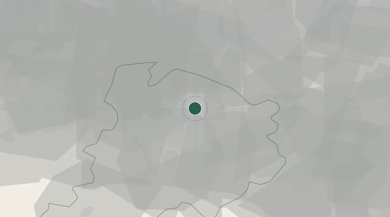
Place type
Populated place
Region
Emilia-Romagna
Population
1,849
Time zone
Europe/Rome
Elevation
16 m
Location
Nearby Logistics Neighbours
Cities
- 1Bentivoglio6 km
- 2San Giorgio di Piano6 km
- 3Molinella9 km
- 4Cadriano11 km
- 5Budrio11 km
Ports
- 1Porto Garibaldi64 km
- 2Porto Di Corsini68 km
- 3Cesenatico89 km
- 4Porto Di Chioggia96 km
- 5Rimini107 km
Airports
Trade Zones
DatabookThe Record of Consolidated Knowledge
Italy beyond logistics?