Transport Functions
Rail
Road
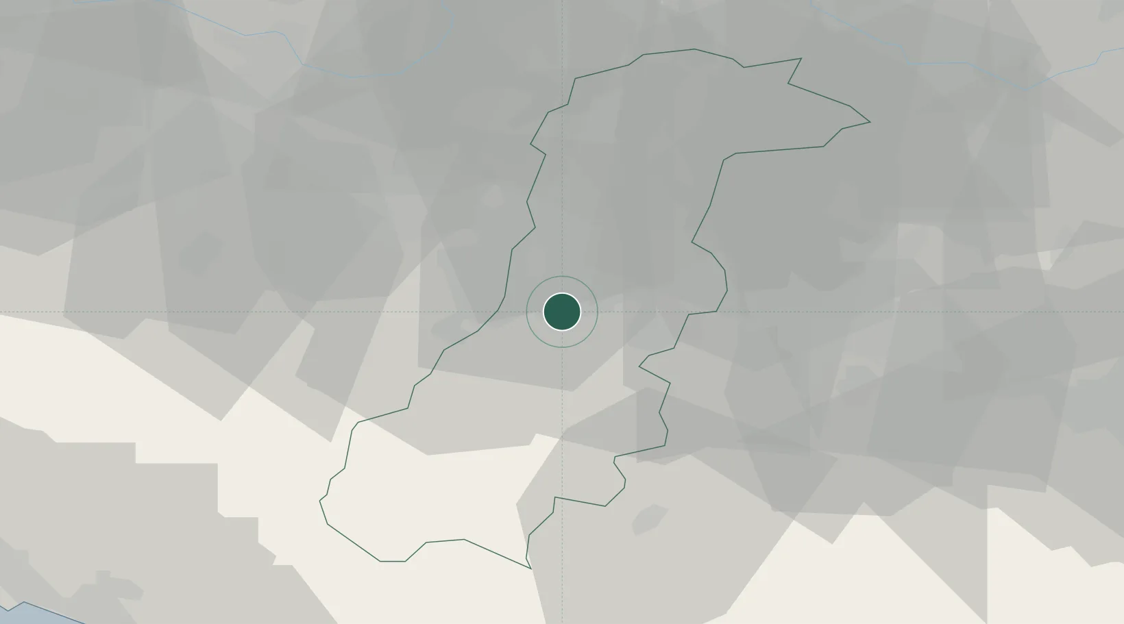
Hub Profile
Place type
District seat
Region
Emilia-Romagna
Population
9,228
Time zone
Europe/Rome
Elevation
137 m
Location
Nearby Logistics Neighbours
Cities
- 1Torre Maina4 km
- 2Sant'Antonino9 km
- 3Cognento11 km
- 4Dinazzano11 km
- 5Marano sul Panaro12 km
Ports
- 1Marina Di Carrara86 km
- 2Viareggio90 km
- 3La Spezia95 km
- 4Porto Garibaldi111 km
- 5Porto Di Corsini113 km
Airports
Trade Zones
DatabookThe Record of Consolidated Knowledge
Italy beyond logistics?