Transport Functions
Road
Multimodal
Hub Profile
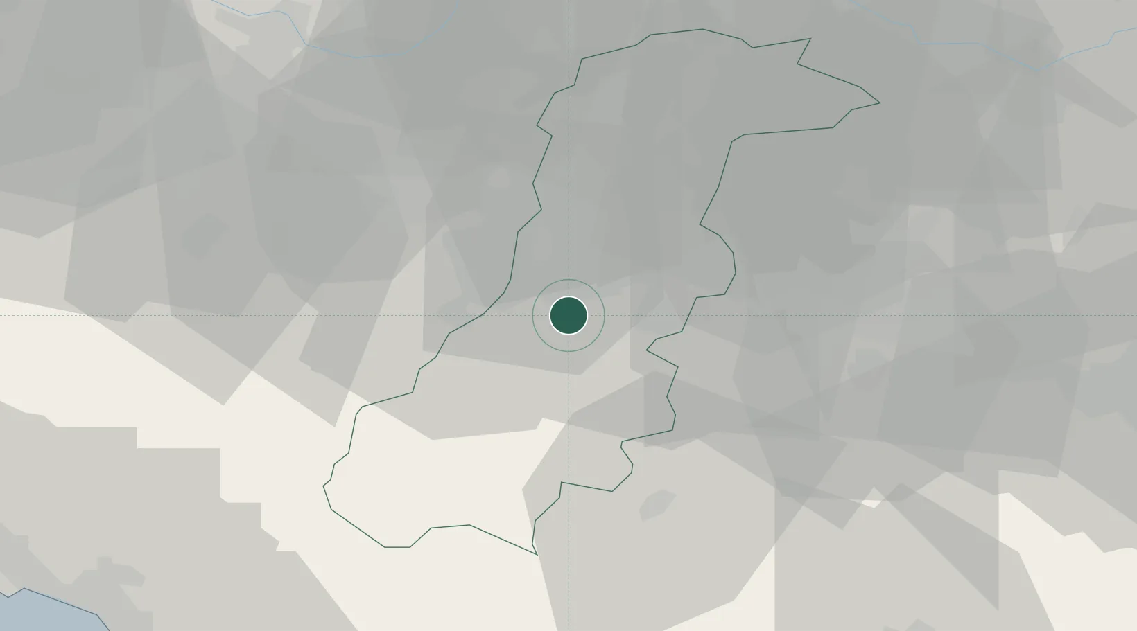
Place type
Populated place
Region
Emilia-Romagna
Population
608
Time zone
Europe/Rome
Elevation
170 m
Location
Nearby Logistics Neighbours
Cities
- 1Maranello4 km
- 2Marano sul Panaro10 km
- 3Sant'Antonino11 km
- 4Serramazzoni11 km
- 5Monfestino in Serramazzoni12 km
Ports
- 1Marina Di Carrara84 km
- 2Viareggio87 km
- 3La Spezia94 km
- 4Porto Garibaldi112 km
- 5Porto Di Corsini113 km
Airports
- 1Bologna Guglielmo Marconi Airport34 km
- 2Parma Airport58 km
- 3Florence Airport, Peretola81 km
- 4Sarzana-Luni Air Base84 km
- 5Pisa International Airport98 km
Trade Zones
DatabookThe Record of Consolidated Knowledge
Italy beyond logistics?