UN/LOCODE hub · Italy
ITTIN

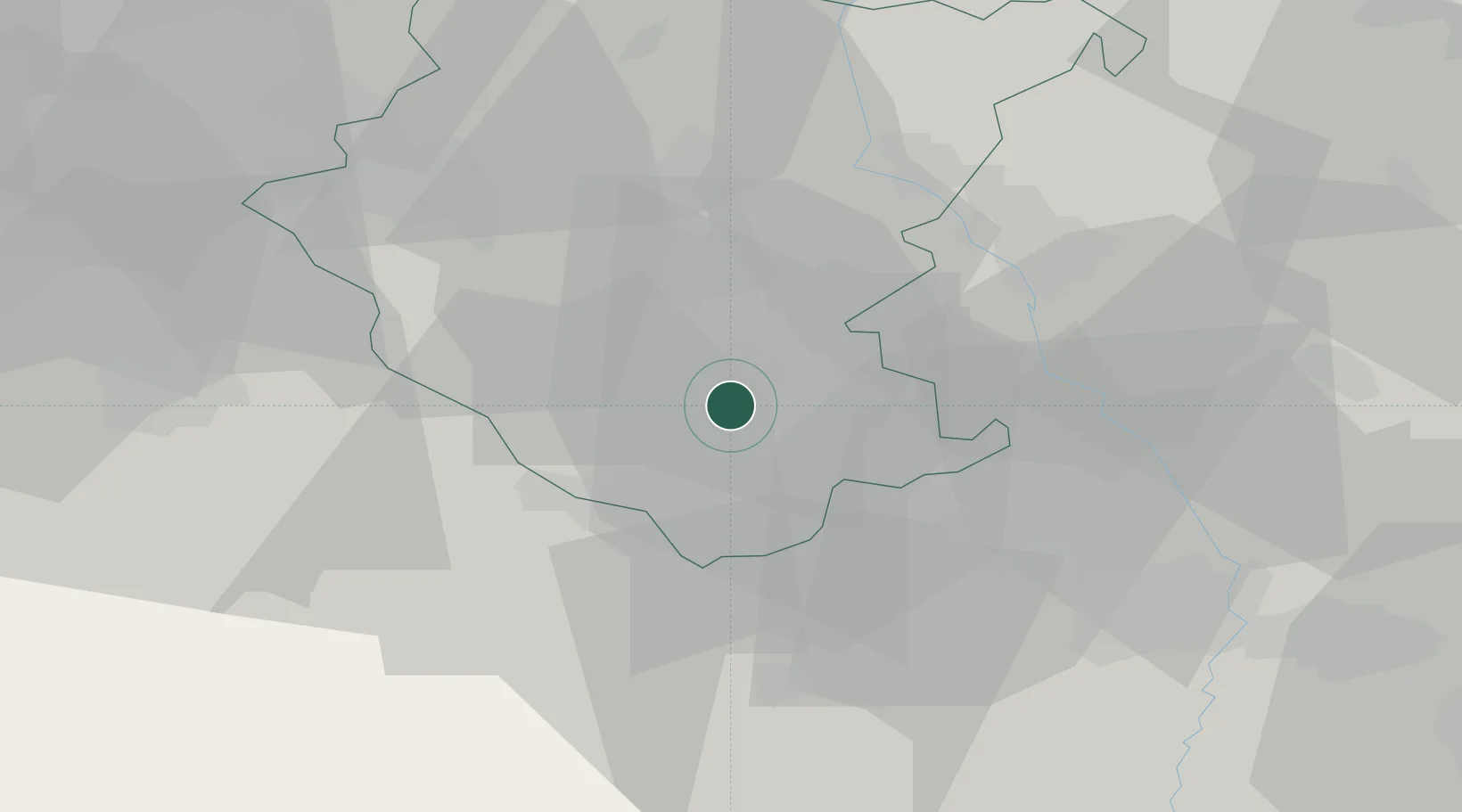
Castiglion Fiorentino

43.3333°, 11.9167°
8,315
Population
2
Transport functions

Transport Functions

Rail
Road
UN/LOCODE

Hub Profile

Place type
District seat
GeoNames
Region
Tuscany
GeoNames
Population
8,315
GeoNames
Time zone
Europe/Rome
GeoNames
Elevation
345 m
GeoNames

Location

Location of ITTIN
Natural Earth 10m (public domain) · Tuscany · ITTIN · 43.33, 11.92GoogleOSMYandex

Nearby Logistics Neighbours

Cities
  1. 1Cortona9 km
  2. 2Marciano della Chiana11 km
  3. 3Foiano Della Chiana12 km
  4. 4Terontola16 km
  5. 5Lippiano21 km
Nearest neighbours — logibook spatial index (haversine) over the source coordinates
Ports
  1. 1Rimini99 km
  2. 2Pesaro103 km
  3. 3Cesenatico105 km
  4. 4Fano106 km
  5. 5Senigallia114 km
Nearest neighbours — logibook spatial index (haversine) over the source coordinates
Trade Zones
  1. 1Abruzzo Special Economic Zone164 km
  2. 2Consorzio Zona Industriale e Porto Fluviale di Padova229 km
  3. 3Port of Pula Free Zone229 km
  4. 4Free Port of Venice235 km
  5. 5Ionian Special Economic Zone247 km
Nearest neighbours — logibook spatial index (haversine) over the source coordinates
DatabookThe Record of Consolidated Knowledge
Italy beyond logistics?
Browse databook

All Sources

LocationsUN/LOCODE
UN/LOCODE — free
LocationsGeoNames
CC BY 4.0
Portsthe NGA World Port Index
Public domain (US gov)
AirportsOurAirports
Public domain
Trade Zonesthe World Bank SEZ database
CC BY 4.0
Trade ZonesOpen Zone Map
CC BY
← Italy locations