Transport Functions
Road
Multimodal
Hub Profile
Place type
Regional capital
Region
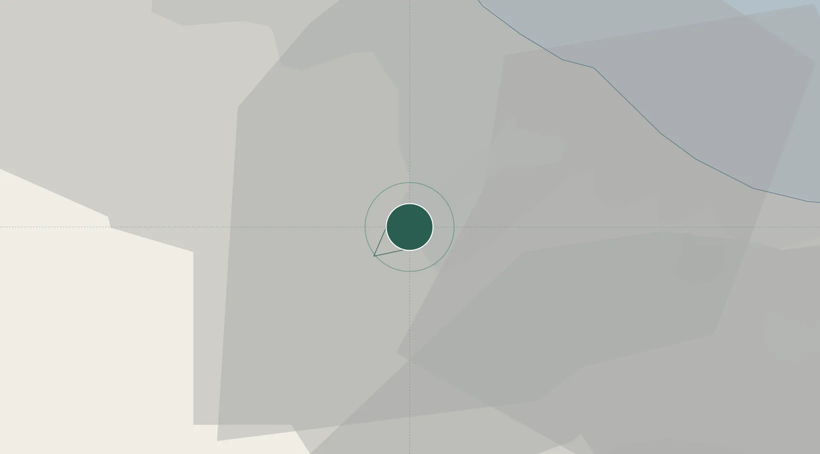
Acquaviva
Population
1,530
Time zone
Europe/San_Marino
Elevation
289 m
Location
Nearby Logistics Neighbours
Cities
- 1Gualdicciolo1 km
- 2Cerasolo10 km
- 3Taverna11 km
- 4Santarcangelo di Romagna13 km
- 5Gallo di Petriano16 km
Ports
- 1Rimini19 km
- 2Cesenatico29 km
- 3Pesaro39 km
- 4Fano49 km
- 5Porto Di Corsini61 km
Airports
Trade Zones
DatabookThe Record of Consolidated Knowledge
San Marino beyond logistics?