Transport Functions
Rail
Road
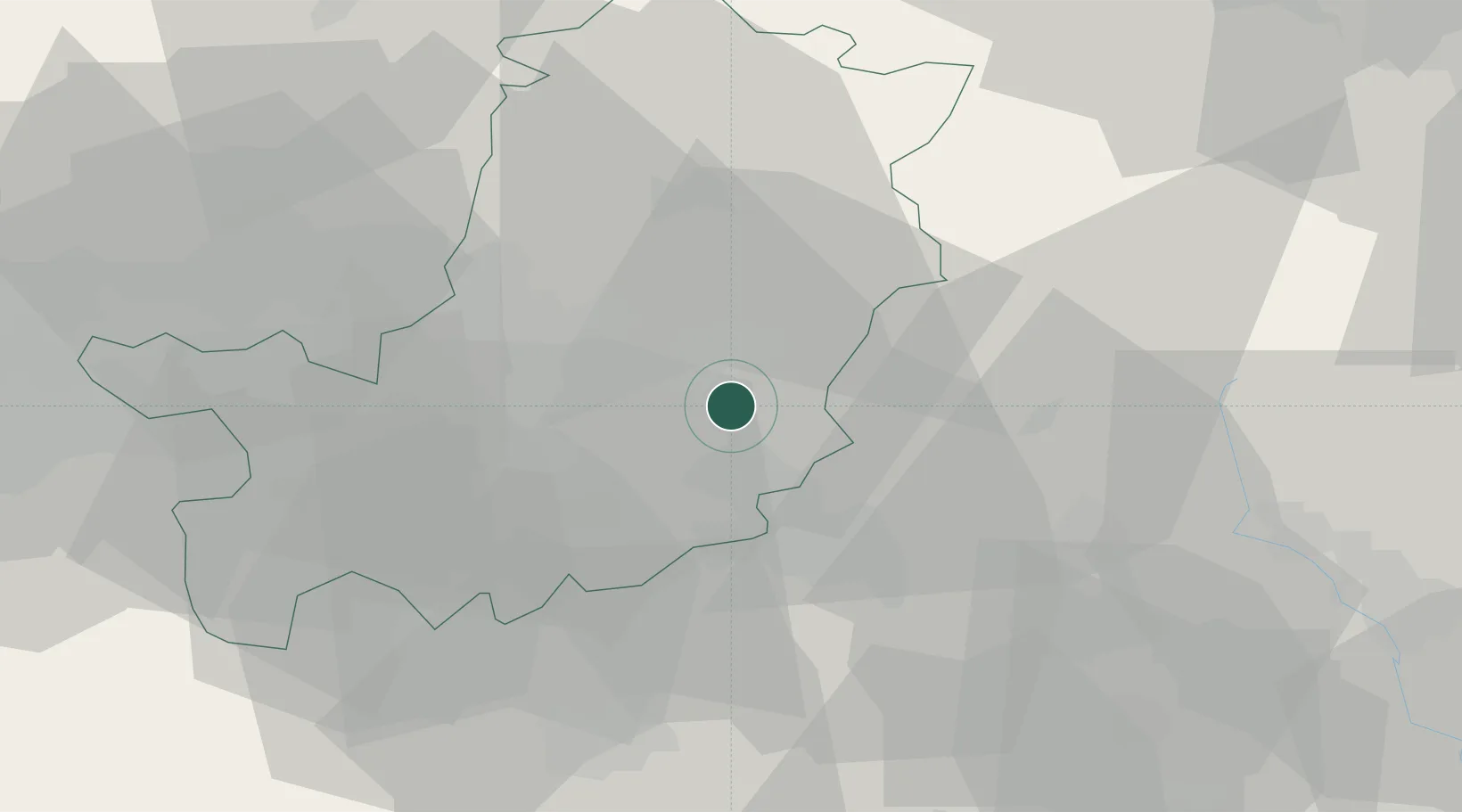
Hub Profile
Place type
Populated place
Region
Tuscany
Population
137
Time zone
Europe/Rome
Elevation
145 m
Location
Nearby Logistics Neighbours
Cities
- 1Rignano sull'Arno2 km
- 2Incisa In Val d'Arno8 km
- 3Sieci8 km
- 4Reggello8 km
- 5Impruneta18 km
Ports
- 1Cesenatico92 km
- 2Vada92 km
- 3Rimini97 km
- 4Livorno97 km
- 5Viareggio100 km
Airports
Trade Zones
DatabookThe Record of Consolidated Knowledge
Italy beyond logistics?