UN/LOCODE hub · Italy
ITRSB
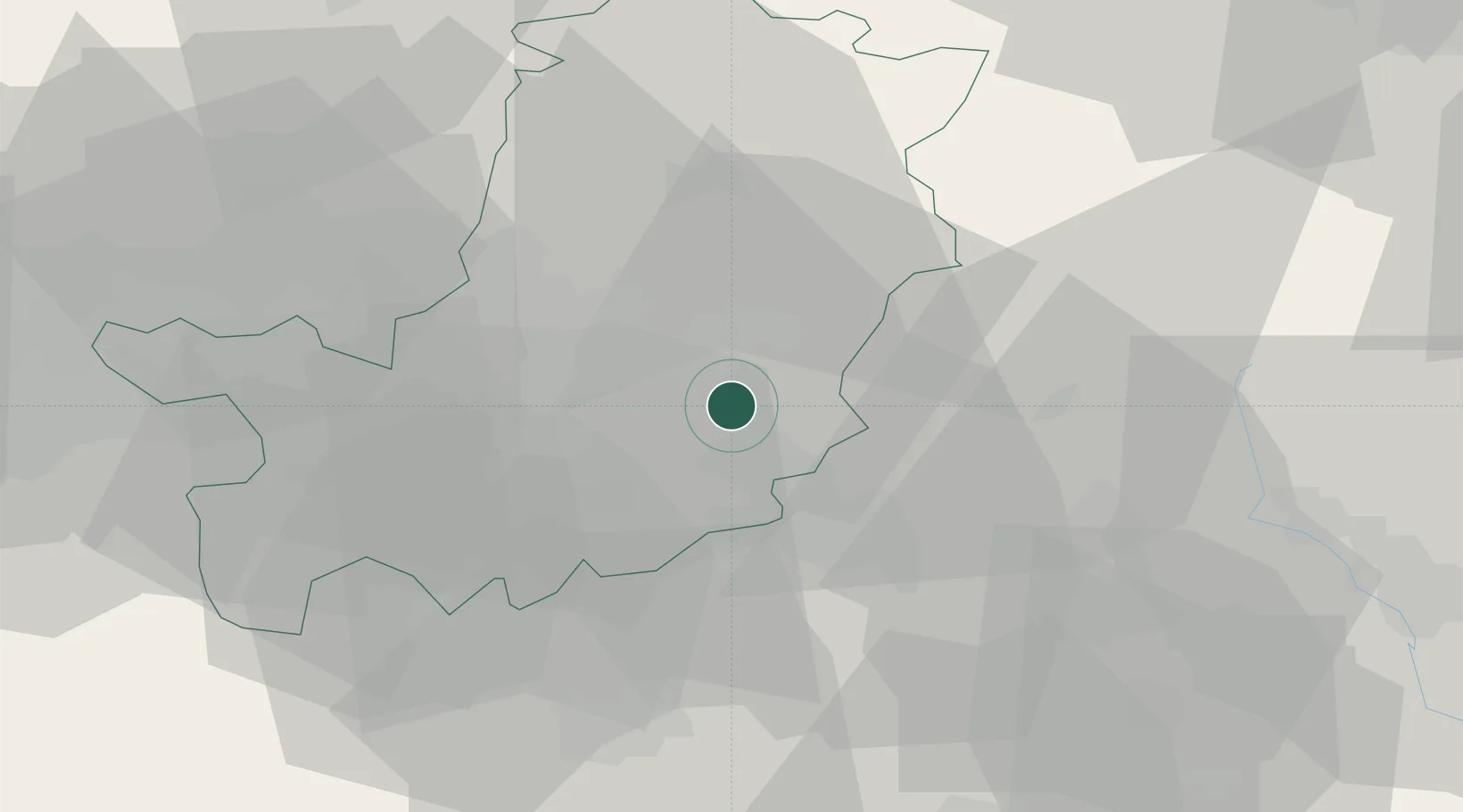
Rignano sull'Arno
43.7167°, 11.4500°
3,343
Population
2
Transport functions
Transport Functions
Rail
Road
Hub Profile
Place type
District seat
Region
Tuscany
Population
3,343
Time zone
Europe/Rome
Elevation
118 m
Location
Nearby Logistics Neighbours
Cities
- 1Sant'Ellero2 km
- 2Incisa In Val d'Arno6 km
- 3Reggello8 km
- 4Sieci8 km
- 5Impruneta17 km
Ports
- 1Vada90 km
- 2Cesenatico94 km
- 3Livorno95 km
- 4Rimini99 km
- 5Viareggio99 km
Airports
Trade Zones
DatabookThe Record of Consolidated Knowledge
Italy beyond logistics?